
Neighbourhood map comparer
You want to compare heat maps, neighbourhoods and legends alongside your study materials at a small desk. The Climate Impact Atlas offers a neighbourhood dashboard that lets you compare different areas.


Start with a compact tablet that displays your map and legend clearly; around 11 inches is a useful point of comparison, not a proven minimum. Choose a stylus if you want to annotate maps or study materials, and consider a Windows 2-in-1 only if your course requires specific software that works on the model you choose. The Climate Impact Atlas provides information for comparing neighbourhoods, but you’ll need to check how your map website works on the device you plan to use.
You want to compare heat maps, neighbourhoods and legends alongside your study materials at a small desk. The Climate Impact Atlas offers a neighbourhood dashboard that lets you compare different areas.
You want to add notes or mark-ups to maps or lecture materials. Check which stylus is compatible with the exact tablet model and whether it’s included in the box.
Your assignment may require more than just viewing an online map. Check the software, version and device specifications you need before choosing a tablet as a laptop replacement.
Choose this option: if you mainly view online maps and documents in a compact study space.
Bear in mind: screen size and stylus bundles vary by model, so check the exact product variant.
Choose this option: if you want to use iPadOS to view maps and may want to add a compatible stylus later.
Bear in mind: Apple lists stylus support, but the Apple Pencil isn’t included in the standard packaging of the iPad reviewed.
Choose this option: if your course requires a specific Windows application or a laptop-style workflow.
Bear in mind: check that the required application works on the exact model you’re considering; the keyboard and stylus may be sold separately.
| What to consider | What should you check? | Who is this most relevant to? |
|---|---|---|
| Reading maps and legends | View your own map and legend at the screen size you’re considering, preferably in landscape orientation too. Compare the screen size and resolution of the exact model. | If I want to see a map and legend at the same time at a small desk, I look for a screen that fits my workspace. Around 28% of consumers put readability and space first. |
| Annotating maps | Check which stylus is compatible, whether it’s included and whether your map or note-taking app supports the features you need. | If I want to write on maps or lecture materials, stylus support and what’s in the box are key. Around 22% of consumers make annotation their top priority. |
| Using study software | Check which software and version you need, and confirm compatibility with the full tablet model, operating system and, if necessary, processor. | If my assignment requires specific GIS software, it needs to run on the device I choose. Around 17% of consumers put software compatibility first. |
| Complete study set-up | Compare the exact tablet model with the stylus or keyboard you need. Consider mobile internet only if you need it. | If I want to know the total cost of my tablet and the accessories I need upfront, I compare the complete set-up. Around 17% of consumers focus mainly on the total purchase cost. |
| Product lifespan and repairs | Check the product information and repair options for the exact device type, as well as the terms that apply to your purchase. | If I want to use my tablet for a long time, repairs and what to expect if something goes wrong matter too. Around 16% of consumers cite long-term use and repairs as their main concern. |
The Climate Impact Atlas neighbourhood dashboard shows the perceived temperature outdoors on a hot, almost windless summer’s day. It doesn’t measure the temperature in your student room.
Read the legend and methodology before comparing neighbourhoods or drawing conclusions about your room.
The Lenovo page for the Idea Tab 5G model reviewed mentions both ‘+ Pen’ and that the stylus is optional and sold separately.
Before buying, ask for confirmation of what’s included with the exact model.
A Windows label alone doesn’t confirm that your course’s specific software will work on the model you choose.
Check the software, version and processor requirements before choosing a Windows 2-in-1.
The Climate Impact Atlas notes that some updates have removed or replaced map layers. For specific energy labelling rules, the European Commission distinguishes between slate tablets and tablet computers: since 20 June 2025, these rules have applied to slate tablets that fall within scope and are placed on the EU market, but not to tablet computers.
For your assignment, check that you’re using the current map layer and methodology. For product information, check which device type you have too; don’t assume that the absence of this specific label on a tablet computer means no other rules apply.
The Idea Tab is an Android option with an 11-inch screen, according to Lenovo, for studying and viewing maps.
The Galaxy Tab S10 FE is a compact Android option if using a stylus is important to you.
The 11-inch iPad (A16) is an iPadOS option for viewing maps and, if you like, taking notes with a compatible Apple Pencil.
The Pad 7 is an Android alternative with a slightly larger screen and a different aspect ratio.
The Surface Pro 12-inch offers a Windows 2-in-1 option if your course requires more than web maps.
These Joybuy picks are Lenovo Android tablets for viewing maps in a compact study space. Compare the screen, connectivity and any included stylus for each model.
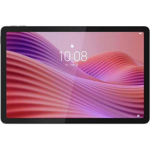 No image available
An option for viewing a map and legend on a compact screen; check how your map website works on the device itself.
1920 × 1200-pixel IPS screen; 425 g; includes a protective case with stand.
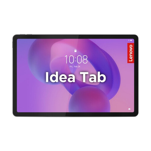 No image available
A compact Android option for viewing maps and taking notes; check the websites and apps you need on this model.
2560 × 1600-pixel IPS screen; weighs 480 g; the product description says a Lenovo Tab Pen is included.
No image available
A compact tablet for viewing maps; check your own map website on the model you choose.
1920 × 1200-pixel IPS screen; 425 g; 4G LTE and a Nano-SIM slot.
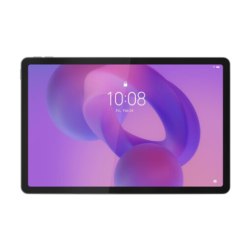 No image available
An 11-inch Android tablet to consider for viewing maps and studying; try your map website on the device.
2.5K screen; MediaTek Dimensity 6300 processor.
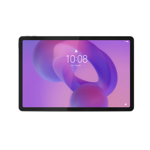 No image available
An option for studying maps and taking handwritten notes; check that the map and note-taking apps you need work on this model.
IPS screen with 90 Hz and 500 nits; the product description says a Lenovo Tab Pen is included. According to the description, a charger isn’t included as standard.
Open your map website, select the layer you need and check whether the map, legend and text are usable at the screen size you’re considering. The Climate Impact Atlas offers a neighbourhood dashboard, but you’ll need to check how it works on each individual tablet model.
No. The percentages in the Climate Impact Atlas neighbourhood dashboard reviewed describe the perceived temperature outdoors on a hot, almost windless summer’s day. Don’t use them as a measure of the temperature in your room.
Esri publishes a list of supported browsers and minimum versions for ArcGIS Online. Check the current list for the application you use; it doesn’t confirm that the Climate Impact Atlas website will work.
No, not if you only want to view maps. If you want to annotate or do a lot of typing, check compatibility and what’s included before you buy. Apple lists which Pencil models the iPad (A16) supports; Microsoft says the keyboard for the Surface Pro 12-inch is optional.
No. According to ACM ConsuWijzer, the Netherlands’ statutory guarantee doesn’t have a fixed duration of exactly two years. What you can expect from a product depends, among other things, on the type of product, its price and normal use; the retailer is your point of contact.