
Comparing maps between lectures
You look at neighbourhood maps, switch between layers and want to read details and legends without having to open your laptop each time. Esri describes map layers and features in ArcGIS Online.


Start by checking which mapping app and workflow your course uses. For a supported web map or mobile app, iPadOS or Android may be suitable. If you need specific desktop GIS software, check the exact version, plug-ins and drivers separately. Esri describes Field Maps for Android and iOS, while QGIS offers a Windows download. This does not confirm that a particular course setup will work, including through Windows on Arm emulation, as Microsoft Learn explains. Then weigh up screen space, carrying weight and stylus use. To work offline, you’ll also need to make the map available in advance.
You look at neighbourhood maps, switch between layers and want to read details and legends without having to open your laptop each time. Esri describes map layers and features in ArcGIS Online.
You can’t always rely on a connection when you’re out and about, so you want to know whether your map can be made available as an offline area in advance. Esri explains how to prepare and download offline map areas in ArcGIS Field Maps.
You may need to do more than view maps, so check in advance that the required software, plug-ins and input devices work on your chosen device. QGIS offers a Windows download, and Microsoft Learn explains Windows app emulation on Arm.
Choose this option if: your course supports the web map or iOS app you need, and you want to compare portable tablets with stylus support.
Trade-off: according to Apple's stated box contents, a Pencil is sold separately; a Wi-Fi model is not a Cellular model.
Choose this option if: your course uses a supported Android app or web map, and you want to weigh up screen, stylus and storage options for each model.
Trade-off: stylus and mobile connectivity options vary by model; also check the map and device requirements for ArcGIS Field Maps.
Choose this option if: you need a Windows workflow and can check that the specific course software works on your chosen device.
Trade-off: Microsoft Learn explains that x64 apps can be emulated on Windows on Arm, but this doesn’t confirm that the full QGIS workflow, plug-ins and drivers will work.
| What to consider | What should you check? | Who should give this more weight? |
|---|---|---|
| Map readability | Compare the screen size, resolution and weight of the exact model; if possible, view your course map with its legend. | If I want to read map layers and the legend side by side without constantly zooming in, readability comes first. Around 25% of consumers say this is their main priority. |
| Software compatibility | Check the required app, account permissions and any plug-ins; test the complete workflow on the device you plan to use. | If your course requires a specific GIS app or plug-in, you’ll want to know whether the full workflow works. Software compatibility is the top priority for around 25% of consumers. |
| Offline access | Check whether the map you use can be made available offline and download the right area in advance; Esri describes this process for ArcGIS Field Maps. | Without a reliable connection, I want to be able to prepare the map area I need in advance and open it on the go. Around 20% of consumers prioritise offline access. |
| Stylus and annotations | Check stylus compatibility, what’s included in the box and whether your map or note-taking app supports the annotations you need. | If I want to mark up maps during lectures, both a suitable stylus and what comes with the model matter to me. Around 15% of consumers put annotation features first. |
| Weight and accessories | Compare the weight of the model you’re considering and check which essential accessories are included. | When travelling between campus buildings, I consider the weight of my complete setup, not just the tablet. Around 15% of consumers prioritise this consideration. |
Mobile map apps, web maps and desktop software have different requirements. Being able to emulate an app doesn’t prove that all plug-ins or drivers will work.
Before you buy, check the exact course map, software version and required tasks on the device you’re considering.
To use ArcGIS Field Maps offline, the map also needs to support offline use and be available as an offline map area.
Check the map configuration and download a test area before you set off. You’ll need a connection to sync changes again.
Accessories and connectivity options can vary by model or bundle.
Before deciding, check the full model number, what’s included in the box and the connectivity option you need.
According to ACM ConsuWijzer, your statutory rights are separate from a commercial warranty and depend on what you could reasonably expect from the product.
Keep your proof of purchase and contact the seller if something goes wrong.
Apple offers the iPad Air in 11- and 13-inch models for people who use the map they need in a compatible iPad app or browser and want the option of using a Pencil.
The Galaxy Tab S10 FE is an Android option with a 10.9-inch screen and S Pen note-taking, as described by Samsung for this product range.
Idea Tab models are an Android option for comparing 11-inch screens and model-specific stylus or keyboard configurations.
The Pad 7 is an Android alternative to consider if a large screen for maps and document viewing matters to you.
The Surface Pro 12-inch is a Windows 2-in-1 option if you’re considering a Windows workflow alongside tablet use.
This Joybuy selection includes tablets for studying and viewing maps. Check whether your course’s map app and workflow are supported by each model.
 No image available
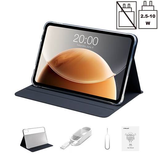
The stated 12.1-inch screen and stylus may suit you if you want to view and annotate maps; check separately that it supports the app your course requires.
Specifications: 12.1 inch; 2.5K; 8 GB RAM; 256 GB storage; stylus.
 No image available
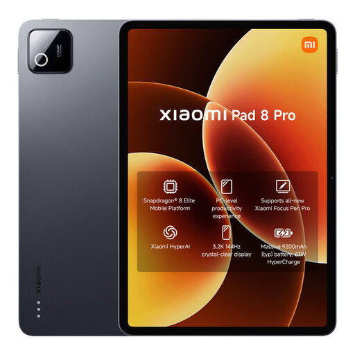
The stated 13.4-inch screen is an option if you want a large display for viewing maps. Check that it suits the course app and how you want to access maps.
Specifications: 13.4 inch; 120 Hz; Android 16; Dual SIM 4G; Wi-Fi 5G.
 No image available
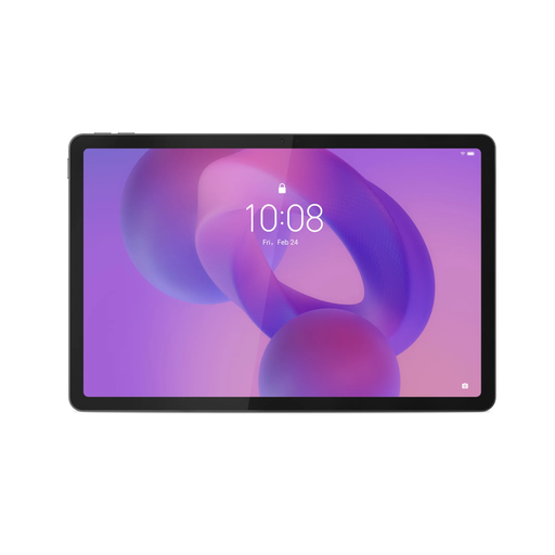
The stated storage may be useful if you want to keep study materials on the device; check the map app and your preferred offline workflow separately.
Specifications: 12 GB RAM; 512 GB storage.
 No image available
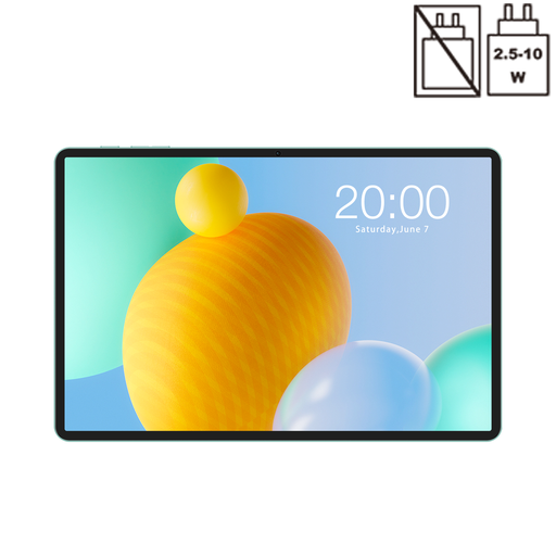
This 11-inch Android model is an option for viewing maps while studying; check that the specific course app works on it.
Specifications: 11 inch; IPS; 90 Hz; 500 nits; Android 15; 8 GB RAM; 128 GB storage.
 No image available
The stated 4G LTE connection may be useful if mobile access is part of how you plan to use the tablet; it doesn’t tell you whether a map can be used offline.
Specifications: 11 inch; Android 16; 4G LTE; Dual SIM; 90 Hz IPS; 32 GB RAM (6 GB + 26 GB virtual); 128 GB storage.
No. Esri says the heatmap style in Map Viewer is available for layers with points, not line or polygon layers. The data and your permissions to edit the map also affect what you can do.
No. In ArcGIS Field Maps, the map you use must support offline use, and you need to make the relevant map area available in advance. Changes will sync once you’re connected again.
That hasn’t been confirmed for any specific course. QGIS offers a Windows installation, and Microsoft Learn explains that Windows 11 on Arm can emulate x64 apps. However, check the required QGIS version, plug-ins and drivers on the device you plan to use.
According to ACM ConsuWijzer, online consumer purchases generally come with a statutory 14-day cooling-off period. Statutory rights are also separate from a commercial warranty and depend on what you could reasonably expect from the product.
Not without checking what data you’re sharing and whether individuals could be identified from it. The Dutch Data Protection Authority also considers information that can indirectly identify someone to be personal data, so check the relevant privacy rules and your course requirements.