Start with the mapping app and project format required by your course. With the right preparation, you can use a local QGIS project in QField, while ArcGIS Field Maps has its own offline map formats and account requirements. QField Ecosystem Documentation explains how to prepare and transfer local project files; Esri lists offline web maps, mobile map packages and geospatial PDFs for Field Maps. Then compare storage, screen space and stylus support to suit the way you work.
Who is this choice relevant to?
Student with QGIS project files
Wants to open an existing project folder with map layers rather than just view an image of the heatmap. How the project is packaged and transferred determines whether the files will work together. QField Ecosystem Documentation explains how to transfer local project files.
Student who takes maps offline
Needs the map and its required layers while travelling or in the field, without relying on a stable connection. The mapping app you choose determines how offline files need to be prepared. QField Ecosystem Documentation and Esri describe different ways to get maps ready for offline use.
Student who compares and annotates maps
Wants to view map details and legends alongside notes. Screen size, portability, and stylus compatibility and packaging are separate considerations.
Which buying considerations deserve attention?
QField with a local QGIS project
When: if your course provides a prepared QGIS project with the required local layers and you want to use it on a mobile device.
Trade-off: QFieldSync can prepare a transferable project package from QGIS; a tablet won’t take care of that desktop preparation step for you.
ArcGIS Field Maps
When: if your map is provided as a supported offline web map, mobile map package or geospatial PDF.
Trade-off: a local QGIS project won’t automatically become a Field Maps map; features and account requirements may vary.
Desktop QGIS
When: if your assignment specifically requires desktop QGIS or a desktop step.
Trade-off: check that the specific device is compatible with the software and processor requirements; this is not the same as a mobile mapping workflow.
| Consideration |
What should you check? |
Who is this important for? |
| Project and app compatibility |
Ask which app is required and use it to test a sample project with the necessary layers. |
If my course provides a QGIS project with local layers, I want to know whether the required app can open that folder. Around 33% of consumers prioritise project and app compatibility. |
| Local storage and offline access |
Compare the folder size with the available storage and test whether all layers and the required basemap load without a connection. |
When I don’t have a reliable connection in the field, I want the map and all its required layers available locally. Around 27% of consumers prioritise offline access and local storage. |
| Reading maps and legends |
View a sample map at the screen size of the exact model; screen specifications don’t guarantee readability in sunlight. |
When comparing colour areas and legends, I want enough screen space without having to keep switching views. Around 20% of consumers prioritise map readability. |
| Annotations and accessories |
Check which stylus model is compatible, what’s included in the box and which features the mapping app supports. |
If I want to mark locations on a map, I want to know whether the right stylus comes with the model and works in my app. Around 20% of consumers prioritise annotation and related accessories. |
Which buying mistakes can you avoid?
-
Only checking whether the heatmap opens as an image
A project may consist of separate vector, raster and style files. An image won’t show whether the complete project structure works in the required app.
Ask for a sample project and test all the required layers before choosing a tablet.
-
Assuming offline use includes an online basemap
A local project may contain files, but an online basemap may not be available without a connection. QFieldSync and Esri’s offline map preparation use different workflows.
Turn off your connection and check the complete map before you head out.
-
Confusing stylus support with a stylus included in the box
Stylus support and box contents are not the same thing. For one Lenovo Idea Tab model, the product information mentions both “+ Pen” and that the stylus is optional and sold separately. Apple lists Pencil support, but no Pencil among the stated box contents.
Check the box contents and compatible stylus model for the exact version.
Which brands are useful to compare?
Lenovo
According to Lenovo Netherlands, the Idea Tab model ZAFR0399SE is an Android option with an 11-inch screen, 8 GB of memory and 256 GB of storage.
- The stated storage and screen size are useful points of comparison for local project folders and map viewing.
- Lenovo’s product information gives conflicting details about the stylus. Check what’s included with the specific model.
Samsung
The Galaxy Tab S10 FE series includes Android models with stylus support; the FE+ is a separate option for anyone who wants more screen space.
- Samsung lists a 13.1-inch screen for the FE+, compared with 10.9 inches for the FE, and mentions microSD expansion.
- These specifications don’t confirm that a specific QGIS project or account will work in Field Maps; don’t assume they apply to other Galaxy Tab models.
Apple
The iPad Air is an iPadOS option if you want to use a local project with a supported mobile app and choose between different screen sizes.
- Apple lists 11-inch and 13-inch iPad Air models with M4, various storage capacities and support for Apple Pencil Pro and Apple Pencil (USB-C).
- The stated box contents include an iPad and USB-C cable, not a Pencil. Check the model and accessories you need.
Microsoft
A Windows device is a relevant alternative only if your course requires desktop QGIS.
- QGIS lists Windows as a supported platform, making Windows relevant when your assignment requires desktop software.
- This doesn’t mean that a specific tablet model is suitable. Check the processor architecture, plug-ins and study environment for the device in question.
Joybuy tablets for map files
These Joybuy tablets are options to compare for storing and viewing local map files. Before buying, check that the required app and project format work on the exact model.
 No image available
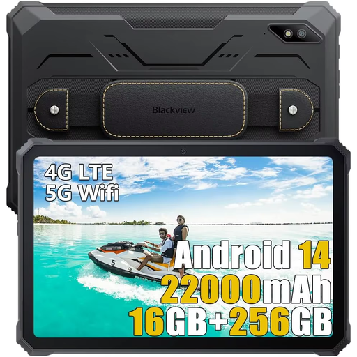
Blackview Active 8 Pro, 256 GB, black
The listed Android model could suit a QField workflow; test your own project folder in the app required by your course.
10.36-inch HD screen, 256 GB storage and Android 13. The title lists 16 GB of memory as 8 GB + 8 GB.
View at Joybuy
 No image available
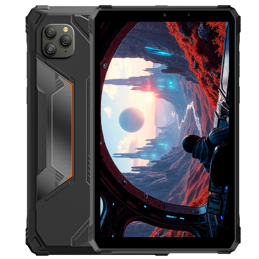
Blackview Active 5, 128 GB, black
The listed Android model could be worth comparing for a mobile mapping workflow; check the required app and project files for yourself.
8.68-inch screen, 128 GB storage and Android 15. The title lists 22 GB of memory as 6 GB + 18 GB of virtual memory.
View at Joybuy
 No image available
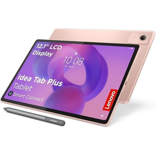
Lenovo Idea Tab Plus WiFi, 256 GB, pink, with stylus
The listed storage and included stylus are worth comparing if you want to save local project files and annotate maps; check that your mapping app supports this.
12.1-inch 2.5K screen, 8 GB RAM, 256 GB storage and an included Lenovo Pen.
View at Joybuy
 No image available
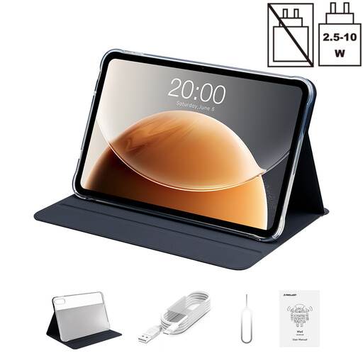
TECLAST T65, 128 GB, 13.4-inch
The stated screen size may be worth considering if you want to view map details on a larger display; also check support for your project and app.
13.4-inch screen, 128 GB storage, 120 Hz and Android 16.
View at Joybuy
 No image available
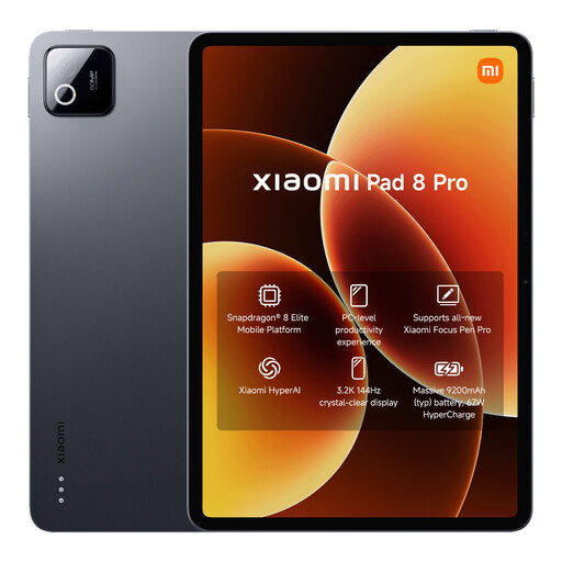
Xiaomi Pad 8 Pro, grey, 512 GB
The listed storage capacity is a useful comparison point if you want to store local project files; also check that the required app works on this model.
512 GB storage and 12 GB RAM.
View at Joybuy
Frequently asked questions
Can I use a local QGIS project folder directly in QField?
QField can open local project files once you’ve transferred them to your mobile device. Keep the project file together with the relevant datasets and styles; QFieldSync can create a transferable package from QGIS. Test everything with the project folder for your assignment. (QField Ecosystem Documentation)
Does ArcGIS Field Maps work offline with any local map file?
No. Esri lists offline web maps, mobile map packages and geospatial PDFs as supported map formats. The options for viewing maps and collecting data vary; also check whether your account allows the actions you need. (Esri)
How can I stop map layers disappearing when I go offline?
Test the complete project folder without a connection. QFieldSync can package project files and a basemap; any layer that comes directly from an online source will still depend on that connection. If you transfer files manually, keep the related files together. (QField Ecosystem Documentation)
Can I share neighbourhood maps with addresses or residents’ details freely?
First check whether the map contains information that could identify people, either directly or indirectly. This may be personal data, in which case processing it is subject to GDPR rules. Whether this applies to your map depends on its contents. (Dutch Data Protection Authority)
Which product safety rules apply to a tablet with Wi-Fi or Bluetooth?
Tablets with Wi-Fi or Bluetooth placed on the market in the Netherlands must meet the applicable EU requirements for radio equipment. After a conformity assessment, the manufacturer must apply the required CE marking and draw up an EU declaration of conformity. This general requirement does not in itself confirm that a particular model complies. (Ondernemersplein, Dutch government)


