
Student with a local GIS project
Wants to take QGIS projects and their associated map layers offline, then transfer field changes back later. QField explains how to copy files to a mobile device in advance.


Start with the GIS software and file format your project requires. For prepared QGIS projects, QField describes a local workflow in which you transfer your project files to a mobile device in advance. A Windows 2-in-1 is another option if you need desktop software, but Microsoft’s information about emulation does not prove that your GIS plug-ins and peripherals will work. Then compare the storage and screen space you need with the portability and accessories of the exact configuration.
Wants to take QGIS projects and their associated map layers offline, then transfer field changes back later. QField explains how to copy files to a mobile device in advance.
Views maps, photos and documents, and weighs screen space against how easy it is to carry the tablet around.
Needs to check in advance whether the required GIS software, plug-ins and peripherals will work on the tablet they choose.
For offline GIS use, you need to prepare the project and the data you need. QField and QFieldSync explain how to take local files with you and synchronise field changes later. A mobile workflow is not automatically the same as desktop analysis.
| What to consider | What to look for | Most relevant to |
|---|---|---|
| Project and software | Check file formats, linked map layers and the operations your assignment requires. Test a copy of the project in the app you plan to use. | I want to open my QGIS project locally with the required layers and carry out the right operations. Around 33% of consumers put project files and software compatibility first. |
| Map overview | Compare screen sizes and check how clearly your maps and documents can be viewed on them. | I want to view maps, coastal images and notes clearly side by side. For around 27% of consumers, having a clear view of maps and documents comes first. |
| Offline fieldwork | Transfer the project and basemap in advance, open them without a network connection and check how changes are transferred back to the source project. | I want to work at a field site with files prepared in advance and transfer my changes back later. Around 20% of consumers give offline field use top priority. |
| Complete configuration | Check the storage, box contents, pen compatibility and any software or accessories you need for each model. | I want to know which components will make my project work properly, without assuming a pen or adapter is included. Around 20% of consumers focus mainly on the complete configuration. |
A project may also need linked data and files referenced by relative paths. Without these, it may not open as intended.
Create a field package and open it once without a network connection before you set off.
Preparing and checking the files takes extra time.
App emulation does not prove that all plug-ins and drivers will work with your configuration.
Test the exact software version, plug-ins and required equipment before choosing a Windows 2-in-1 as a desktop replacement.
You may still need another workstation or device for essential software.
Box contents, storage and pen bundles can vary between models and configurations.
Compare the exact model code and box contents with what your project requires.
You may need to buy missing items separately; what you need will depend on the configuration.
The Galaxy Tab S10 FE is an Android option for viewing projects and making notes on the move.
The iPad Air is an iPad option for a prepared mobile project workflow using documents and notes.
The Idea Tab Pro is an Android option for anyone considering a larger screen and expandable storage.
The Surface Pro 12-inch is a Windows 2-in-1 to consider when an assignment requires desktop software.
The Pad 7 is an Android option for maps and documents, with a choice of storage configurations.
These Joybuy product picks are suited to viewing maps and documents, carrying local files and taking notes. Check separately whether the GIS apps and file formats you need will work for your project.
 No image available
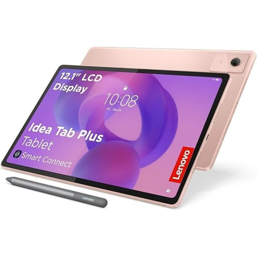
An option for viewing maps and documents on a spacious screen and making notes.
The product name lists a 12.1-inch 2.5K screen, 8 GB RAM and 256 GB storage; the product description says a pen is included.
 No image available
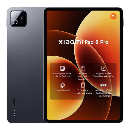
An option for anyone who wants to carry local project files on their tablet.
The product name lists 12 GB RAM and 512 GB storage. Check that the GIS app and project files you need work with this configuration.
 No image available
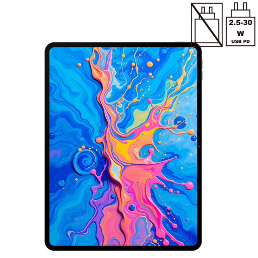
An option for anyone who wants to view maps and images on a large screen and carry files with them.
The product name lists a 12.7-inch screen, a Helio G99 and 256 GB storage. The stated 20 GB RAM consists of 8 GB RAM and 12 GB virtual RAM; the pen is described as compatible.
 No image available
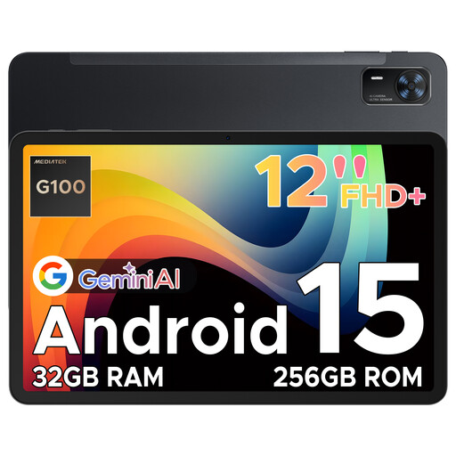
An option for viewing maps and local files on a larger tablet screen.
The product name lists Android 15 and a 12-inch FHD+ screen. The product description states that it has 256 GB of internal storage.
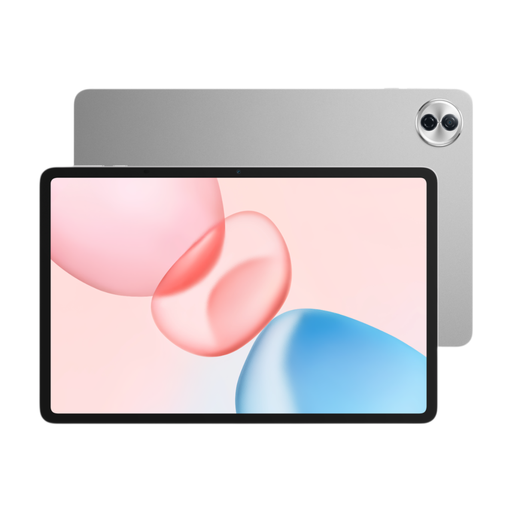 No image available
An option for anyone who wants to view maps and documents on a spacious screen and carry local files with them.
The product name lists a 12.1-inch 2.5K screen, 8 GB RAM and 256 GB storage. Check that the GIS app and files you need work with the configuration you choose.
Yes. QField lets you open local files. Prepare the project and its associated data together, then transfer them to the device. QFieldSync also explains how to synchronise field changes later.
No. Esri says offline use is intended for maps that have been prepared for this purpose, for example by downloading them or using a suitable shared map package. Check the procedure for your course or project.
It depends on your setup, and emulation alone cannot tell you. Microsoft describes x64 emulation on Windows on Arm, but this does not prove that your version of QGIS, plug-ins and peripherals will work. Test the combination in advance.
Not without first assessing the privacy rules that apply to your use. The Dutch Data Protection Authority explains that identifiable people in images are personal data and that the GDPR may apply. Assess the purpose and the required legal basis before publishing images.
No. Don’t assume this is allowed everywhere. The Dutch Government says that provinces decide what is permitted in their nature reserves, so check the rules for the specific location and land manager.