
Plan reader
You download plans and supporting documents and want to read them comfortably and compare them side by side. Consider screen space and the size of your own files before opting for extra graphics capability.


If you mainly read and compare downloaded plans, a comfortable screen and enough local storage should come first; you don’t automatically need a powerful graphics configuration. If you also need GIS or CAD software, check the exact programmes and course requirements before choosing an operating system or configuration. Esri lists the Windows operating systems supported by ArcGIS Pro, while QGIS offers installers for Windows and macOS.
You download plans and supporting documents and want to read them comfortably and compare them side by side. Consider screen space and the size of your own files before opting for extra graphics capability.
You edit or analyse plans, so let the programmes, versions and assignments actually required by your course guide your choice. Also check that the software works with the exact configuration you’re considering.
You take downloaded files with you to campus or another workplace. A more compact screen is easier to carry, but gives you less room to view a plan and its supporting document at the same time.
First, check which software and file formats your course requires. Then choose based on screen space, local storage and portability, depending on how you study the plans.
| Buying consideration | What should you check? | Who should pay particular attention? |
|---|---|---|
| Software compatibility | Check the programme, version and file format, and whether you’ll be doing 2D, 3D or analytical work. | If your course requires GIS or design software, you’ll want to know whether it works on your laptop. Around 29% of consumers make compatibility their top priority. |
| Screen space | Compare the screen size, resolution and aspect ratio of the exact configuration. | If you want to view a plan and its supporting document side by side on the built-in screen, physical workspace matters. Around 29% of consumers prioritise being able to read plans clearly. |
| Local files | Match the SSD capacity to your own files and check that essential map layers can be opened offline. | If you want to work with plans or map data without a network connection, you’ll need to make those files available locally in advance. Around 21% of consumers prioritise storage and offline access. |
| Portability | Compare the size and ports, and check the conditions behind any quoted battery life. | If you take your laptop with you often, a smaller screen can be practical, even though it gives you less room for plans and notes. Around 21% of consumers make portability their top priority. |
The cited guideline from Van Hall Larenstein University of Applied Sciences applies to the 2025–2026 academic year. It is not a current general minimum requirement for every student.
Check the requirements for your own course and academic year before settling on memory, storage or other components.
A local project may still refer to web layers or files on a network drive. Esri notes that offline use does not automatically include all map content.
Open the files and essential layers in advance without a network connection. QGIS also explains how to save selected data locally.
A general list won’t check whether the programmes used on your course work on a particular computer. ArcGIS Pro lists the Windows operating systems it supports.
Start with your course’s software list, then compare the configurations that meet its requirements.
Configurations can vary in their specifications and included accessories; the model name alone won’t always tell you what’s in the box.
Before buying, check the exact configuration, what’s included in the box and the current product details.
The ProBook 4 G1i 16 is an example of a Windows laptop with a spacious screen.
The Dell 16 Plus DB16250 is an example of a configurable 16-inch Windows option.
The 13-inch MacBook Air M5 is a compact macOS option for studying documents, provided the software you need works on macOS.
The ThinkPad E14 Gen 7 is an example of a more compact Windows option.
The Vivobook 16 X1607 is a 16-inch Windows option for comparing screen space and connectivity.
These product picks are 16-inch Windows laptops for studying plans and storing files locally. Check that the software used on your course works with each configuration and see which accessories are included.
 No image available
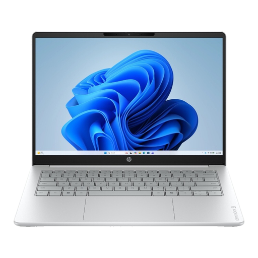
The 16-inch screen may suit you if you want more workspace on the built-in display when studying plans.
The product details list a 1920 × 1200 IPS screen with a 16:10 aspect ratio, Windows 11 Home and 512 GB SSD.
The charger is not included; also check whether the stated 8 GB RAM is suitable for the software required by your course.
 No image available
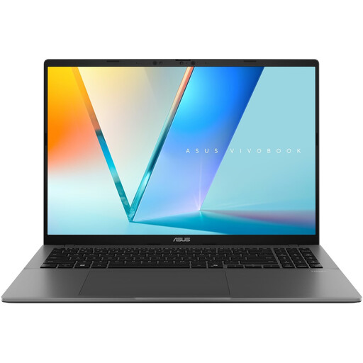
This 16-inch configuration could be a good option if you want to view plans on a larger built-in screen.
The product name lists a WUXGA OLED screen, Snapdragon X processor, 16 GB LPDDR5X, 512 GB SSD and Windows 11 Home.
Before choosing it, check that the exact processor configuration is compatible with any required software.
 No image available
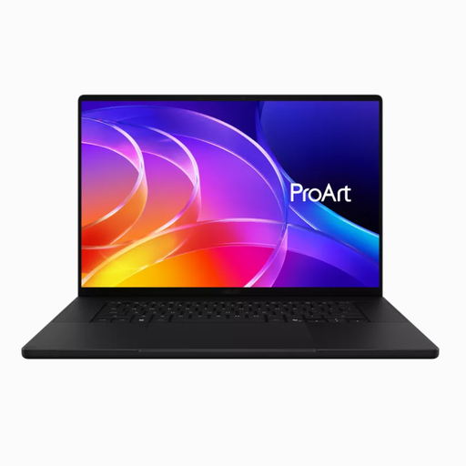
This 16-inch configuration offers plenty of memory and storage; whether you need that much depends on the assignments and software used on your course.
The product details list 64 GB RAM, 1 TB SSD and Windows 11 Pro.
Assess the full configuration against the requirements of your programmes and tasks, rather than judging it by memory capacity alone.
 No image available
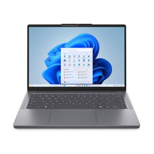
The 16-inch anti-glare screen may suit you if you want to read and compare plans on the built-in display.
The product details list WUXGA IPS, Intel Core Ultra 5 135H, 16 GB DDR5, 512 GB SSD and Windows 11 Pro.
Check the requirements for your specific GIS or design software; these components alone don’t prove that every task will run smoothly.
 No image available
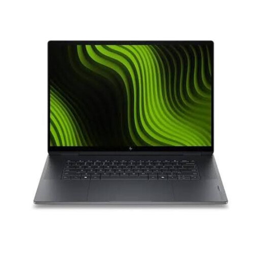
This 16-inch configuration combines screen space with the stated memory and storage specification.
The product details list 32 GB RAM, 1 TB SSD and Windows 11 Pro.
Check the full configuration and software requirements before deciding whether it’s right for your assignments.
Not automatically: check in advance that all the data you need is available locally. Esri notes that not all map content is available offline and that layers on network drives may be inaccessible without a connection. QGIS explains how to copy selected layers to a local GeoPackage or SpatiaLite file in advance.
Not just to read downloaded documents. If ArcGIS Pro is required, check the Windows versions supported by Esri; QGIS offers installers for Windows and macOS. Ask your course which programmes and versions you’ll actually be using.
Check the contents of the box for the exact offer and find out what charging equipment you’ll need. ASUS notes that whether a charger is included varies by country, region and model.
If a product is faulty, the seller must provide a solution under guidance from the Dutch Government; there is no fixed statutory guarantee period of exactly two years. For an online purchase from a business, you’ll generally have a 14-day cooling-off period. Check the terms and exceptions that apply to your purchase.