
Students viewing maps together
You view heat maps around a shared table and want others to be able to follow the legend and map details. Screen space and readability are important considerations.


For heat maps you mainly view online with others, a clear screen that fits on the table matters more than extra processing power. If you’re editing map layers yourself, first check which GIS software and version you need, then check the operating system, memory and storage. A larger screen gives everyone more room to view the map, while a more compact laptop is easier to carry around.
You view heat maps around a shared table and want others to be able to follow the legend and map details. Screen space and readability are important considerations.
You create or edit map layers yourself. First check which application and version your course uses, and what your files require. A laptop suitable only for online maps may not be enough for this work.
You take your laptop to classes or group sessions and want a practical balance between screen space, portability and connectivity.
A good fit if: you mainly open heat maps online and discuss them with others. Esri describes ArcGIS Online as a platform that runs in a browser.
Trade-off: a larger screen can make it more comfortable to view maps together, but it also takes up more table space. For ArcGIS Online, Esri specifies a 64-bit browser that supports WebGL; other mapping websites may have their own requirements.
A good fit if: you edit map layers yourself and want to choose a laptop to suit your version of QGIS and your files. QGIS offers desktop software for Windows, macOS and Linux.
Trade-off: working locally means checking that the software, memory and storage meet the needs of your workflow; there isn’t one specification that suits every QGIS project.
A good fit if: your course requires ArcGIS Pro. Before buying, check the exact version required and Esri’s system requirements.
Trade-off: the requirements consulted from Esri for ArcGIS Pro 3.6 list supported Windows systems. This version-specific information doesn’t confirm the requirements for other versions or ArcGIS applications.
For consumers looking for a laptop for this study task, the key things to consider depend on how they use the maps.
| Consideration | What should you check? | Who should consider this? |
|---|---|---|
| Reading the map and legend | Compare screen size, resolution and finish. Check that the map and legend work for your table layout and lighting. | If I want to point out map details to others, I want everyone to be able to follow from where they’re sitting. Around 36% of consumers prioritise being able to view maps together. |
| Local GIS work | Check the required application and version, the operating system, and the space your files need. | If I create or edit map layers myself, I want to check first that the laptop suits my course software and datasets. Around 29% of consumers prioritise suitability for local GIS editing. |
| Taking it between locations | Compare the dimensions and weight of the exact model; also check the ports and which power supply is included. | If I need to take my laptop to classes or group sessions regularly, I weigh up the size against the screen area. Around 21% of consumers put portability first. |
| Choosing the right configuration | Match the memory and storage to the software task and files; check whether a required charger is included. | If I don’t want to pay for capacity I won’t use, and also want to know which essentials are missing, I compare the configuration carefully. Around 14% of consumers prioritise a suitable configuration and all the necessary items being included. |
Viewing a map in a browser is different from installing GIS software and editing map layers locally. The software required by your course may determine which operating system you need.
First, note down the application and version you’ll be using. Then compare the system requirements and the storage space your files need.
Resolution alone doesn’t tell you how comfortable the screen will be to use in the lighting around a shared table. The Lenovo model reviewed is described as having a glossy screen; HP describes the specific OmniBook Flip as having a glass display.
Check the screen finish and, if possible, assess readability from different seats and under similar lighting conditions.
Ports, chargers and operating systems can vary between configurations. What’s more, the requirements for ArcGIS Pro 3.6 don’t automatically apply to other versions or applications.
Compare the software requirements with the exact configuration and check what’s in the box. HP states that the charger for the OmniBook Flip reviewed is sold separately; the USB-C charger is not included with the Lenovo IdeaPad Slim 5 configuration reviewed.
For those specific HP and Lenovo configurations, you may need to buy a compatible power supply separately.
The OmniBook 5 Flip 14-fp0605ndx is one example of a compact Windows 2-in-1 for viewing maps together.
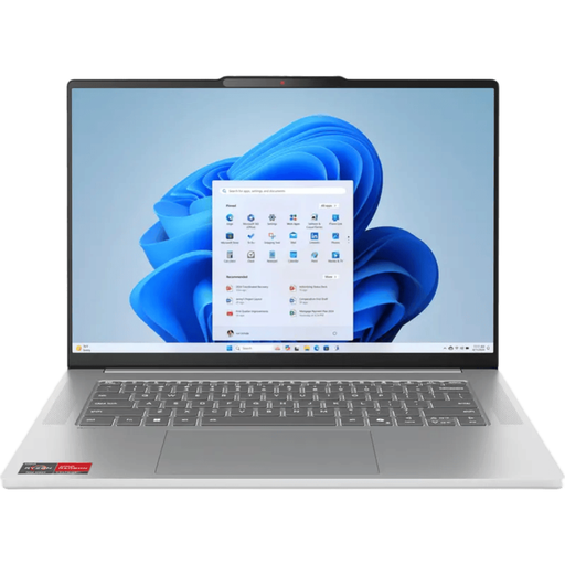
The IdeaPad Slim 5 14AKP10 is an example of a compact Windows range with different screen and port configurations.
The 13-inch MacBook Air with M5 is a compact macOS option if your study software works on macOS.
These Joybuy laptop picks are relevant to viewing or studying neighbourhood heat maps together. Check which configuration and software suit the way you work for each laptop.
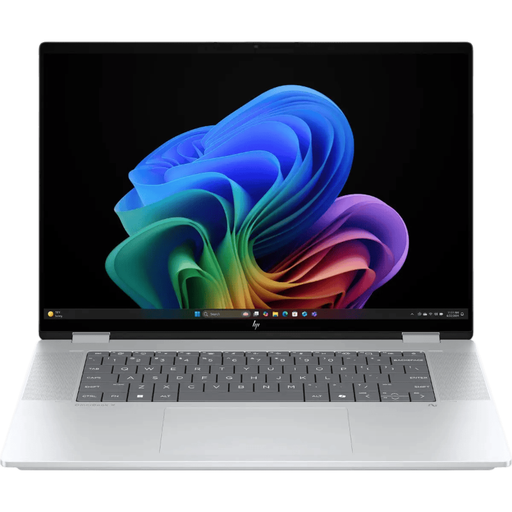 No image available
Worth considering if you want to study maps together and work directly on the screen too.
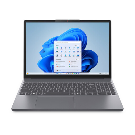 No image available
The 15.3-inch configuration could suit you if you want to view maps together and use local files or programmes too.
The product name lists a Ryzen 7 8840HS, 16 GB memory, a 512 GB SSD and a QWERTY keyboard. According to the product information, the charger must be bought separately.
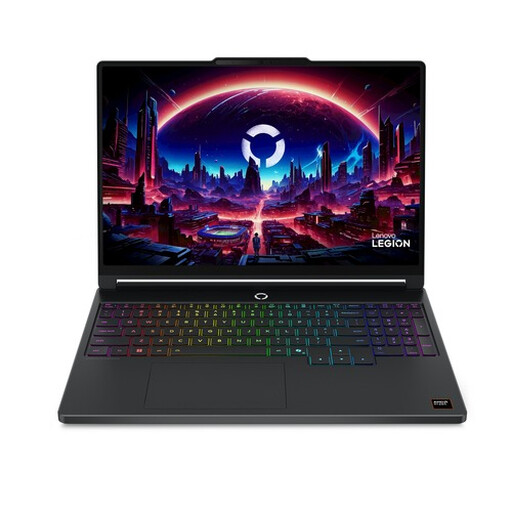 No image available
The 15.3-inch configuration listed is worth comparing if screen space for viewing maps together is important to you.
The product name lists a WQXGA OLED screen with 165 Hz, Ryzen 7 250, 16 GB DDR5, a 512 GB SSD, GeForce RTX 5060 and Windows 11 Home. Check that this configuration suits the software required by your course.
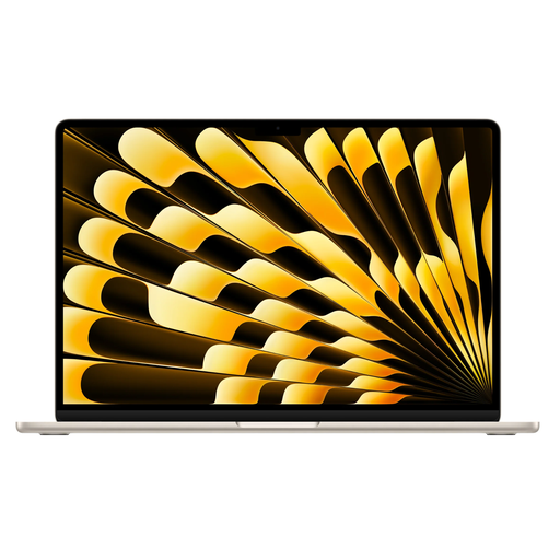 No image available
This 15-inch MacBook Air could suit you if you’re looking for more screen space to view maps together and your required software works on macOS.
The product name lists the M5 chip, 16 GB memory, 512 GB storage and a QWERTY keyboard. According to the product information, the USB-C power adapter isn’t included and must be bought separately.
 No image available
The product name lists a 15.3-inch configuration, making it one to compare if you want to view maps together.
The product name lists 16G memory, 512G storage and a QWERTY keyboard. According to the product information, the charger must be bought separately.
Not just because they’re called heat maps. For viewing them online, the website and its browser requirements are relevant; for editing them locally, the required software and your own files matter. The information consulted doesn’t support a general requirement for a dedicated graphics card.
Yes, QGIS offers a macOS version, as well as versions for Windows and Linux. Also check which version and any additional software your course requires; QGIS being available on macOS doesn’t mean every other GIS application will work on it.
Check the video output on the exact laptop configuration and which cable or adapter is compatible with the screen. Lenovo lists HDMI and USB-C with video output for the model range reviewed; Apple lists video output via Thunderbolt 4/USB-C for the 13-inch MacBook Air M5.
Online purchases in the Netherlands generally come with a statutory cooling-off period. ACM ConsuWijzer states that this ends 14 days after delivery, subject to applicable exceptions. The legal guarantee is separate from any manufacturer’s guarantee: if a product doesn’t meet what you could reasonably expect under normal use, the seller must provide a solution, according to ACM.