
Neighbourhood map viewers
You want to view existing Dutch heat maps and see the map and legend clearly. Atlas Leefomgeving provides a heat map for neighbourhoods.


Start by choosing a laptop to suit the workshop software. For viewing existing online maps, a suitable browser is important; if you’ll be creating maps yourself, you’ll need control over the GIS software and files. QGIS is available for Windows and macOS, but Esri specifies a supported 64-bit Windows 11 environment for ArcGIS Pro 3.7. Also check the screen, charger and ports on the exact model.
You want to view existing Dutch heat maps and see the map and legend clearly. Atlas Leefomgeving provides a heat map for neighbourhoods.
You want to process spatial data or build a map during the workshop. The QGIS documentation explains, among other things, how to create a heatmap raster from a point layer.
You need to use the organiser’s desktop software. Check the requirements for the specified version: Esri lists a supported 64-bit Windows 11 environment for ArcGIS Pro 3.7.
Suitable if: you view existing maps in a browser. Esri specifies a supported 64-bit browser with WebGL for ArcGIS Online.
Bear in mind: the Atlas Leefomgeving heat map shows modelled summer averages, not a live temperature reading.
Suitable if: you’ll be processing data yourself during the workshop. QGIS is available for Windows and macOS, among other operating systems.
Bear in mind: according to the QGIS documentation, smaller raster cells increase the size of a heatmap file.
Suitable if: the organiser specifies ArcGIS Pro. For version 3.7, Esri lists 64-bit editions of Windows 11 as supported.
Bear in mind: a laptop suitable for browser-based maps or QGIS won’t necessarily be suitable for ArcGIS Pro.
| Buying concern | What to look for | Who might prioritise this? |
|---|---|---|
| Software compatibility | Ask which app and version the organiser uses. Check the system requirements and, for online maps, the map service’s browser requirements. | I want to avoid buying a laptop that doesn’t support the required software; around 33% of consumers prioritise compatibility with the workshop software. |
| Space for working with maps | Compare the screen size and resolution of the exact model, and view the map and legend on a screen of a similar size. | If I want to see the map and legend at the same time, screen space matters more than a compact design; around 27% of consumers prioritise space for working with maps. |
| Your own GIS files | Ask about the sample files and tasks, and check the model’s RAM and available SSD storage. | If I’m building maps myself, I want to know in advance how large the files are and what processing is involved; around 27% of consumers focus mainly on working with their own GIS files. |
| Portability and charging | Compare the weight and screen size, and check whether a charger is included and suitable for the model. | If I’m taking the laptop to a weekend workshop, I want to weigh portability against screen space and make sure I can charge it; around 13% of consumers prioritise portability and power. |
The Atlas Leefomgeving heat map shows modelled averages for the summer season. In QGIS, ‘heatmap’ can also refer to a density raster created from a point layer.
Before choosing your software, ask what type of map and data the workshop will cover.
Esri lists the supported Windows operating systems for ArcGIS Pro 3.7. Being suitable for QGIS or browser-based maps doesn’t, by itself, mean a laptop will run ArcGIS Pro.
Ask the organiser for the application name and version, then compare them with the official system requirements.
Acer states that the Aspire Go 15 NX.JRREH.018 doesn’t come with a charger.
Check what’s included in the box and the power requirements for the exact model.
ACM ConsuWijzer explains that your statutory guarantee exists alongside the retailer’s or manufacturer’s warranty. The retailer must resolve issues with a faulty product under the applicable conditions.
Discuss any fault with the retailer and consider any commercial warranty separately.
According to Acer Store Netherlands, the Aspire Go 15 NX.JRREH.018 is a Windows model with a 15.6-inch Full HD screen, 16 GB RAM and a 512 GB SSD.
HP lists the OmniBook 5 16-bm0615ndx with Windows 11, a 16-inch 2K screen, 16 GB RAM and a 512 GB SSD.
According to Apple, the MacBook Air M5 model listed has a 13.6-inch screen, 16 GB of memory, a 512 GB SSD and weighs 1.23 kg.
According to Lenovo PSREF, the IdeaPad Slim 5 16IRH10R with model code 83J10079PS is an example of a 16-inch configuration with 16 GB RAM, a 512 GB SSD and HDMI.
These Windows laptops are selected for comparison for workshops using QGIS. Check the required software version, workshop files, system requirements and included power supply in advance.
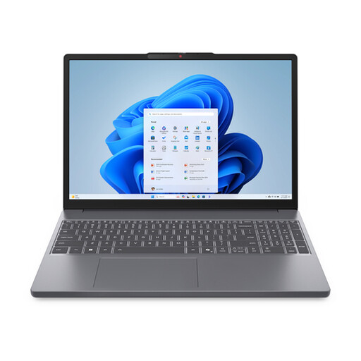 Image unavailable
Worth comparing if you want a larger screen for viewing the map and legend during a Windows workshop.
15.3-inch IPS screen with a resolution of 1920 × 1200, Windows 11, 16 GB memory and a 512 GB SSD. The product description states that the charger must be purchased separately.
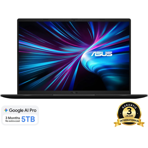 Image unavailable
A Windows model worth comparing if you want to view the map and legend on a larger screen during the workshop.
WUXGA screen with a resolution of 1920 × 1200, Windows 11 Home, 16 GB DDR5 memory and a 1 TB SSD. The product name specifies a Dutch QWERTY keyboard.
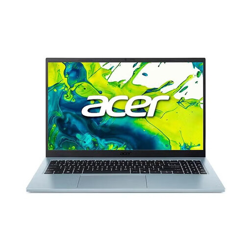 Image unavailable
A Windows model worth comparing if you want to view the map and legend on a 15.6-inch screen.
Full HD IPS screen, Windows 11 Home, 16 GB memory and a 512 GB SSD. The product description lists a weight of approximately 1.53 kg.
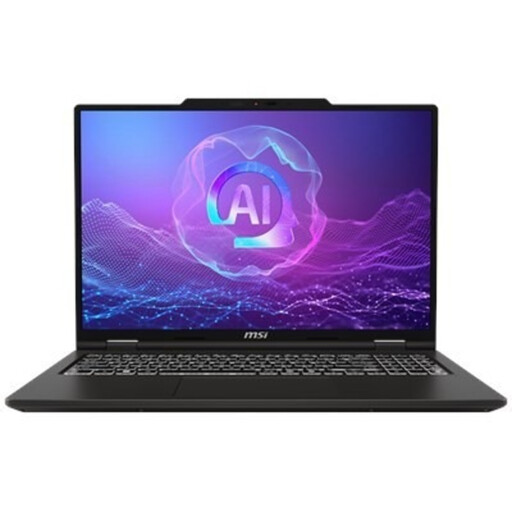 Image unavailable
A Windows model worth comparing if your workshop involves larger map files or working with your own GIS data.
16-inch screen with a resolution of 1920 × 1200, Windows 11 Pro, 32 GB memory and a 512 GB SSD. The product description states that a power adapter isn’t included.
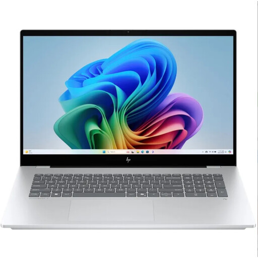 Image unavailable
A Windows model worth comparing if a large screen for the map and legend is important to you.
17.3-inch IPS screen, Windows 11 Home, 16 GB memory and a 1 TB SSD. The product description lists a weight of approximately 1.89 kg.
Not to view an existing map of the urban heat island effect. Atlas Leefomgeving describes summer-season averages, not a live temperature reading on the day of the workshop. To create your own QGIS heatmap, you’ll need a suitable point layer, among other things, according to the QGIS documentation.
Ask which map service or desktop software will be used, and test it in advance with the workshop files. For ArcGIS Online, Esri specifies a supported 64-bit browser with WebGL; for QGIS, you can follow the installation instructions for your operating system.
Not based on the workshop description alone. The configuration you need depends on the software and data files. If ArcGIS Pro is required, check the requirements for the version being used rather than focusing on a single memory figure.
Check whether a charger is included: Acer states that one isn’t included with the NX.JRREH.018, while HP lists a recommended USB-C adapter for the OmniBook 5 16-bm0615ndx that’s sold separately. ACM ConsuWijzer explains that your statutory guarantee exists alongside the retailer’s or manufacturer’s warranty.
When you buy remotely from a business, you generally have a 14-day cooling-off period, according to the Dutch government. Check the terms for your specific purchase; a purchase from a private individual isn’t covered by the same example of a distance sale.