
Mapping an assignment
You want to arrange map layers, a legend and text clearly at home, then export a usable file. The QGIS documentation explains how to export a print layout as a PDF.


Start with the software specified for your assignment: QGIS is available for Windows and macOS, while Esri lists supported Windows systems for ArcGIS Pro. Then choose a screen and configuration to suit your map layout. A more powerful graphics setup is mainly worth comparing if your assignment involves genuinely complex GIS tasks.
You want to arrange map layers, a legend and text clearly at home, then export a usable file. The QGIS documentation explains how to export a print layout as a PDF.
First, you need to know whether your assignment requires QGIS or ArcGIS Pro, as this affects your choice of operating system. QGIS is available for Windows and macOS; Esri lists supported Windows systems for ArcGIS Pro.
You may be working with larger datasets or 3D, so it’s worth comparing configurations rather than looking only at a laptop range’s name. Lenovo and HP describe workstation models with different types of graphics.
A good fit if: your assignment allows QGIS, you mainly arrange map layers and you also use your laptop away from your home office.
The trade-off: a more compact screen is easier to carry, but may leave you with less room at home for your map, legend and text. Check whether you can connect an external monitor.
A good fit if: you want to view map details alongside text and tools, or need to use ArcGIS Pro.
The trade-off: compare the screen space with the weight and monitor ports of the exact model. Integrated graphics are not the same as a dedicated GPU.
A good fit if: your assignment involves larger datasets, complex visualisations or 3D, and the software requirements justify a suitable graphics configuration.
The trade-off: workstation ranges may include models with integrated or dedicated graphics. Check the full configuration: the range name alone won’t tell you which GPU is inside.
| What to consider | What should you check? | Who should pay particular attention? |
|---|---|---|
| Software compatibility | Check the specified software name, version and system requirements. QGIS is available for Windows and macOS; Esri lists supported Windows systems for ArcGIS Pro. | If my assignment specifies one particular GIS programme, I want to make sure it works on my laptop first. Around 36% of consumers put software compatibility at the top of their list. |
| Workspace for maps and text | Compare the screen size with the space you need for your map, legend and assignment text. Check the connection ports too if you want to use an external monitor. | If I want to keep my map, legend and text side by side at home without constantly moving windows around, screen space matters most. Around 29% of consumers name workspace for mapping as their main concern. |
| Complex GIS processing | Find out whether the assignment involves large datasets or 3D. Then compare the memory and type of graphics in the full configuration with the software requirements. | For an assignment involving larger datasets or 3D, I want the full configuration to meet the software requirements, not just choose based on the model name. Around 21% of consumers prioritise demanding GIS processing. |
| Total cost | Compare models with the same relevant configuration, and factor in any peripherals, software and paid-for extra cover. | For straightforward map layout work, I don’t want to choose a configuration or extra cover that my assignment doesn’t require. Cost is the main concern for around 14% of consumers. |
QGIS is available for macOS, but Esri lists supported Windows systems for ArcGIS Pro. Your operating system may therefore determine which laptop you choose.
Before buying, ask for the exact software name and version, then compare them with the system requirements.
The Lenovo and HP workstation ranges reviewed include models with both integrated and dedicated graphics.
Check the GPU specification for the full model, not just the range name.
A manufacturer’s warranty or paid extension is separate from your statutory rights if a product does not meet the terms of the contract.
Compare the exact additional cover with your existing rights before paying for it. The Dutch government explains the statutory guarantee in the Netherlands.
The ThinkPad P16s Gen 4 AMD is a 16-inch workstation range to compare if you’re looking for a spacious Windows setup.
The ZBook Power 16 G11 and G11 A are configurable workstation ranges to consider if you expect more demanding GIS tasks.
The MacBook Air with M5 is a portable macOS option if your assignment allows QGIS or other suitable macOS software.
The Pro Max 16 is a Windows workstation range you can use to compare graphics configurations.
The ProArt P16 H7607 is a creator range to compare if your mapping assignment also involves exceptionally demanding creative or computing tasks.
These Joybuy products are laptops to compare for map layout and GIS work in a home office. Always check the software required for your assignment and the configuration of the specific model.
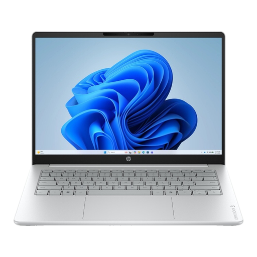 No image available
A 16-inch model to compare if you want to view map elements on a larger screen; check that it’s compatible with your assignment software.
The product title lists an AMD Ryzen 5 7520U, 8 GB memory, 512 GB SSD, 2K IPS screen and Windows 11 Home.
The charger is not included and must be purchased separately.
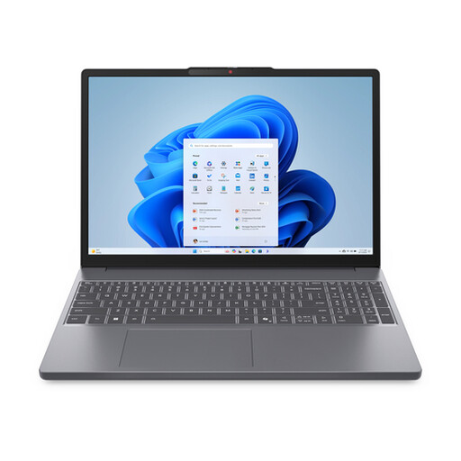 No image available
The listed screen aspect ratio and size make this model worth comparing if you want to view map details and text side by side.
The product title lists a 15.3-inch screen, Ryzen 7 8840HS, 16 GB memory, 512 GB SSD and a QWERTY keyboard.
The charger is not included and must be purchased separately.
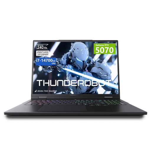 No image available
This model is worth comparing if your assignment requires a dedicated graphics setup; first check whether your software and workload call for one.
The product title lists a 16-inch QHD+ IPS screen, i7-14700HX, RTX 5070, 32 GB memory and 1 TB storage.
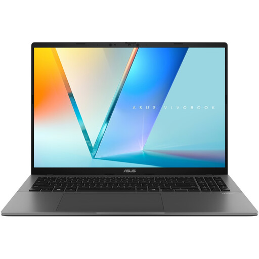 No image available
The 16-inch screen model is worth comparing if you want more space for map layout. Check that the required software will run on this configuration.
The product title lists a WUXGA OLED screen, Snapdragon X processor, 16 GB LPDDR5X, 512 GB SSD and Windows 11 Home.
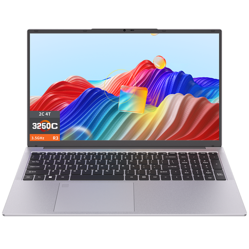 No image available
The listed 17.3-inch screen is worth considering if you want plenty of room to view your map and text. Also check that it’s suitable for the software you’ve been asked to use.
The product title lists a 3250C processor, 8 GB DDR4 memory and 512 GB SSD storage.
Yes. The QGIS documentation explains how to export a print layout to PDF and image formats. Check which file type and page settings your assignment requires; the manual consulted covers QGIS 3.44.
First, follow any specific version requirement from your course or client. On 27 October 2026, the official QGIS download page listed version 4.2.3 as the current release and 3.44.15 as the LTR; QGIS recommends the LTR if you’re not sure which version to choose.
Not just because you’re making a map. First check whether your assignment involves 3D or other demanding processing, then compare the full configuration with the requirements of the specified software. Lenovo and HP describe workstation ranges with both integrated and dedicated graphics.
Many online consumer purchases come with a 14-day cancellation period, but there are exceptions. The Dutch government states that there is no fixed general period for the statutory guarantee on a product that meets the contract; if a product is faulty, the seller is your point of contact. Check the terms that apply to your specific purchase, especially if you’re not buying as a consumer.
OpenStreetMap data is licensed under the ODbL and requires attribution. How you display this depends, among other things, on whether you use the data in a print or static image. This applies when you actually use OpenStreetMap data; also check your assignment requirements and the terms for any other data sources.