
Creator working with local scans
You want to combine existing maps or images with a more precise garden plan, and may want to print a copy. QGIS documentation explains how to align scans with known coordinates and export a map as a PDF.


For a simple shared community garden map, a laptop for browser-based work may be enough. If you need to align scans and edit detailed map layers, a laptop for local QGIS projects is a better fit. Then choose based on your own files, the screen space you need and how often you’ll carry the laptop around. More memory or storage isn’t automatically necessary for a small garden map.
You want to combine existing maps or images with a more precise garden plan, and may want to print a copy. QGIS documentation explains how to align scans with known coordinates and export a map as a PDF.
You discuss the map in different places and need to weigh portability against screen space. The Consumers’ Association recommends 16 GB of RAM as a general guideline for creative work; this isn’t a specific requirement for this mapping project.
You want others to be able to view or add locations and information without everyone needing a local GIS project. Google My Maps Help explains how to create and share maps on a computer.
First decide whether you mainly want to share locations on a browser-based map or edit scans and map layers locally. This determines which software and files your laptop needs to handle. Then consider the screen, storage and portability.
| Consideration | What to look for | Who is it mainly for? |
|---|---|---|
| Local scans and map layers | Start by choosing your software and file formats, then compare memory, storage and screen. The Consumers’ Association recommends 16 GB of RAM as a general guideline for creative work, not as a QGIS minimum requirement. | If I want to align scans and edit local map layers, I’ll look for software and a configuration that suit my files. Around 33% of consumers prioritise local GIS editing. |
| Taking it to the garden and meetings | Compare the weight and screen size of the exact configuration. Treat battery life as a manufacturer’s specification; your actual usage time will depend on how you use the laptop. | If I take my laptop to the garden or a meeting, I want a screen that’s practical to work on without unnecessary weight. Around 27% of consumers prioritise portability. |
| Source files and finished map | Make a note of your scans and photos, then compare SSD capacities. Also check that you can export the map and that the PDF will be readable at the size you want to display or print it. | If I want to keep source files and present a clear map, I’ll consider storage and the final output. Around 20% of consumers prioritise storing source files and presentation. |
| Simple collaboration | On a computer, test whether your chosen shared map works and whether you can import your files. Google My Maps Help explains how to create and share maps; it hasn’t been shown to replace the georeferencing of scans. | If people in my neighbourhood mainly want to add locations and view the map, I want a simple workflow without extra computing power I don’t need. Around 20% of consumers prioritise simple collaboration. |
Google My Maps explains how to create and share online maps. QGIS documentation separately explains how to georeference scans using recognisable points with known coordinates.
Try your most challenging source file and the editing you want to do before choosing a workflow.
Configurations can vary within a range. Lenovo states that the memory in the IdeaPad Slim 3 15ABR8 is soldered on.
Before buying, check the full model number and the memory and screen configuration.
The applicable licence can vary between files and data services. PDOK directs users to the metadata for details.
Record the source of each layer you use and check the applicable terms before publishing the map.
These examples relate to specific product ranges and configurations. A brand name alone won’t tell you which configuration is right for your files.
The OmniBook 5 range includes 14- and 16-inch configurations. Compare the size with the workspace you need and how often you’ll be carrying the laptop.
The 13-inch MacBook Air with M5 is a macOS option if you want a compact laptop and use software that supports macOS.
The IdeaPad Slim 3 15ABR8 is a 15-inch range worth comparing if screen space and ports matter to you.
The Vivobook S 14 S5406 range is a more compact option with an OLED screen.
This selection focuses on laptops for local map editing with QGIS, such as editing scans and map layers. Check that the software works with the operating system on your chosen configuration and that the specifications suit your files.
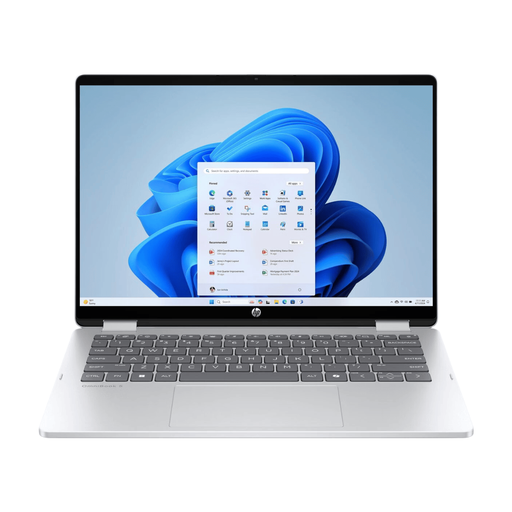 Image unavailable
This configuration suits anyone who wants to combine local map editing with working in different locations.
14-inch OLED touchscreen, 16 GB RAM, 512 GB SSD and Windows 11 Home. USB-C charger and stylus are not included; charging requires a compatible USB-C Power Delivery charger.
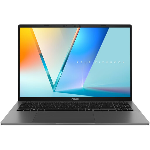 Image unavailable
The 16-inch screen gives you room to view your map work. Check that this configuration is compatible with your chosen software.
16-inch WUXGA OLED screen, Snapdragon X processor, 16 GB LPDDR5X, 512 GB SSD and Windows 11 Home. Colour: Cool Silver.
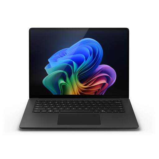 Image unavailable
This configuration is worth considering if a smaller screen suits the way you work and you need a laptop to take with you.
13.8-inch touchscreen, 16 GB RAM, 512 GB SSD and Windows 11 Pro. Listed weight is 1.34 kg.
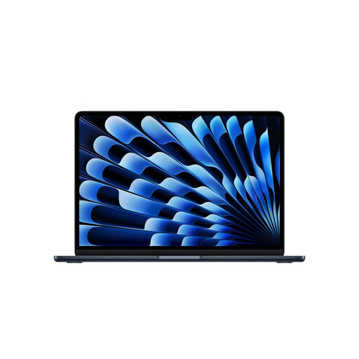 Image unavailable
This macOS configuration suits anyone who wants to combine local map editing with a compact laptop. Check beforehand that your chosen software supports macOS.
24 GB of memory and 1 TB of storage. Listed weight is 1.23 kg.
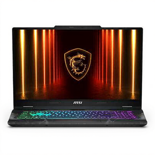 Image unavailable
The large screen may suit you if you want to view map layers on a roomy laptop and don’t need to carry it around often.
17.3-inch Full HD screen, Intel Core 7 240H, 16 GB DDR5 RAM, 512 GB SSD and NVIDIA GeForce RTX 5050. Listed weight is 2.4 kg.
Yes, if you can georeference the scan. The QGIS Georeferencer uses recognisable points with known coordinates to align a layer that hasn’t been georeferenced. Also check whether you’re allowed to reuse the old map for your intended purpose.
The Large-Scale Topography Key Register (BGT) includes features such as buildings, roads, water and green spaces. The Netherlands’ Cadastre says that anyone can freely use information from the BGT. For the dataset or service you actually use, check the licence in the PDOK metadata, especially before publishing your map.
QGIS can export a print layout as a PDF. Check the legend, scale and readability at the size you want to display or print the map.
According to the Dutch government, there is no fixed statutory warranty period in the Netherlands, but you are entitled to a product that is fit for purpose. For distance purchases, a 14-day cooling-off period applies in many cases. Check whether your particular purchase is covered by these rules; a manufacturer’s warranty does not replace your statutory rights.
Don’t assume you can publish this information. The Dutch Data Protection Authority says that permission is generally required to publish information about other people online. So first decide which information really needs to be public.