
GIS user
You want to open or edit geographic data yourself during the workshop. The required software and whether you can install it locally will determine which laptop is right for you.


If you mainly read plans and web maps, consider screen space, portability and how you access your files. If you want to edit GIS data yourself, first check that the required software works with the operating system. A larger screen gives you more room to see map details, but is less convenient to carry. A Chromebook is a straightforward option only if you can work without unconfirmed desktop software.
You want to open or edit geographic data yourself during the workshop. The required software and whether you can install it locally will determine which laptop is right for you.
You compare maps, drawings and supporting notes, and want enough room to view the details without carrying an unnecessarily heavy device.
You take your laptop with you and want to be able to access files between sessions. Size and having tested access to your files in advance are important.
First decide whether you only need to read plans or also edit GIS files. Then weigh screen space against what you want to carry, and check that your files and software will be available during the workshop.
| What to consider | What should you check? | Who is this important for? |
|---|---|---|
| Software and GIS files | Ask which applications and file formats you’ll need. Test the installation and open a sample file on the device you plan to use. | If I edit GIS files myself, I want to know in advance whether the software works and can be installed; around 33% of consumers prioritise compatibility. |
| Map details and screen space | Open a representative map and check how easy it is to read the text and details, and how often you need to zoom in. Check the resolution of the exact configuration. | When I want to compare maps and drawings side by side, screen space matters; around 27% of consumers prioritise being able to see map details clearly. |
| Portability and files | Compare the weight and ports of the configuration you’ve chosen. Make sure you have the files you need before you leave, and assess battery life in your own circumstances. | If I take my laptop with me between sessions, I want it to be practical to carry and access my files; around 20% of consumers prioritise portability. |
| Only the features you need | Decide whether you only need to read files or also edit them locally. Then check software access and the full model configuration. | If I only do confirmed reading and web-based tasks, I don’t want to choose features I won’t use; around 20% of consumers prioritise simple, suitable use. |
Being included on a general list doesn’t confirm that the laptop will work with the GIS software used in your workshop. Linux may also be unavailable on a managed Chromebook.
Ask which software you’ll need and test the full workflow on the device you plan to use.
If local software turns out to be necessary, you may need a different device or a revised workflow.
Apple claims that the M4 MacBook Air has a battery life of up to 18 hours. This is a manufacturer’s claim, not a measurement of use with maps and GIS files.
Allow for your own usage and check whether you’ll have access to power during the workshop.
Specifications can vary between configurations within a product range. An external laptop list also gives different model numbers for the Acer Aspire 17.
Compare the full model number and the configuration on offer with your software and files.
An unsuitable screen, memory or storage configuration may mean you need a different one.
The 14-inch IdeaPad Slim 5 Gen 9 is worth considering if you want a laptop you can take with you.
A MacBook Air is worth considering if the software you need works on macOS and you want a laptop you can take with you.
Vivobook laptops are worth comparing for everyday use; a Chromebook is another option for web-based tasks you’ve tested in advance.
The ProBook 440 G10 shows why you should assess each Windows laptop configuration individually.
The Dell 14 Plus is an example of a laptop range with different screen and storage options.
These laptops are suited to viewing plans and doing local GIS work on Windows or macOS. Compare screen space and portability with the software and configuration required for your workshop.
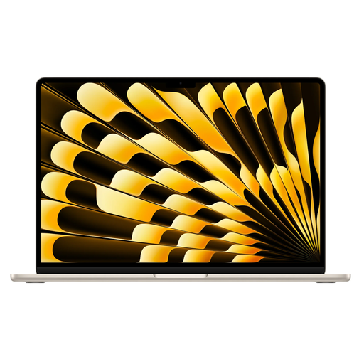 Image unavailable
An option for viewing plans on a larger screen, if the software you need works on macOS.
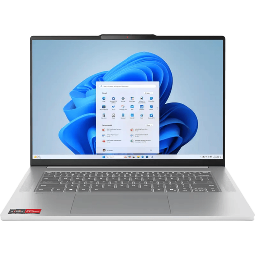 Image unavailable
A Windows option with a 15.3-inch screen for viewing plans and working locally with GIS software.
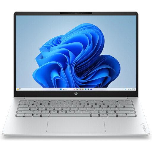 Image unavailable
A more compact Windows option to take with you; its 14-inch screen offers less room to read than the larger models in this list.
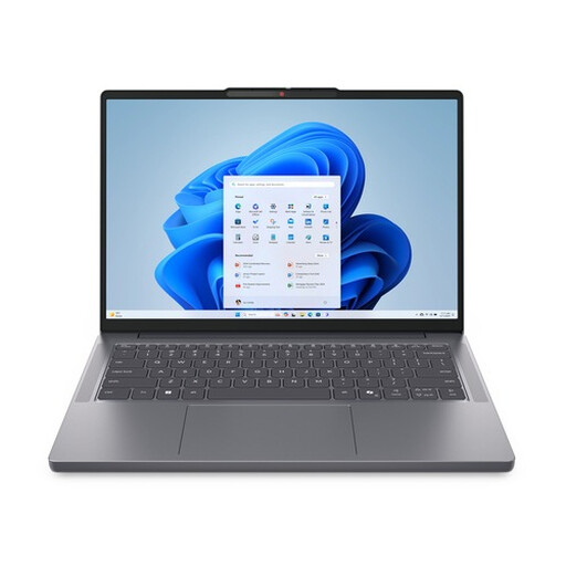 Image unavailable
A 14-inch Windows laptop to take with you and use for local GIS software.
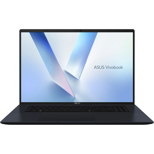 Image unavailable
The large screen gives you room to view map details, but the extra weight makes it less convenient to carry.
Not if you only read files using the applications required for the workshop. If you edit GIS data yourself, ask which software you’ll need and test a sample file; QGIS is available for Windows, macOS and Linux.
Yes. Once you’ve downloaded the installer, you can install QGIS without an internet connection. Download the installer and workshop files in advance, and test that you can open them.
Don’t assume it is without testing first. Google Chromebook Help says that Linux is switched off by default on Chromebooks and may not be permitted on managed devices; QGIS doesn’t list ChromeOS as a platform for direct installation.
For online purchases by consumers in the Netherlands, you generally have a statutory 14-day cooling-off period after delivery, subject to applicable exceptions. Separately, the statutory guarantee applies if a product doesn’t provide what you could reasonably expect under normal use; the seller is responsible for this. ACM ConsuWijzer explains these rights.