
Teacher with maps up to A3
You want to scan historical maps in a single scan and are looking for a straightforward classroom set-up. VIISAN specifies a scanning area of 304 × 426 mm for the VF3240.


First, measure your largest map and decide whether it can safely lie flat on a glass platen. An A4 scanner is suitable only for smaller originals, while an A3 flatbed can capture larger maps in a single scan if they fit within its scanning area. Then choose based on the table space available and the level of detail you need. For fragile, curled or larger maps, scanning them yourself on a classroom flatbed may not be the right approach.
You want to scan historical maps in a single scan and are looking for a straightforward classroom set-up. VIISAN specifies a scanning area of 304 × 426 mm for the VF3240.
You first assess whether old, curled or uneven originals can safely lie flat. The University of Antwerp’s scanning guidelines and Metamorfoze guidelines emphasise taking care with distortion and digitising materials carefully.
You scan only originals up to A4 size and want to use as little workspace as possible. Canon Netherlands specifies a maximum document size of 216 × 297 mm for the CanoScan LiDE 400.
Choose this option: if the maps fit within the scanning area and can safely lie flat. VIISAN specifies a scanning area of 304 × 426 mm and dimensions of 565 × 394 × 61 mm for the VF3240.
Bear in mind: according to VIISAN, the stated four-second scan time applies to an A3 colour scan at 200 dpi; it does not automatically apply at higher resolutions.
Choose this option: if a map fits within 304.8 × 431.8 mm and you need to check image quality or capture the texture of the paper. Plustek specifies this scanning area for the OpticPro A320E (Image Express).
Bear in mind: Plustek’s claims about depth of field or colour do not prove that every fragile map can safely be placed on the glass platen.
Choose this option: if all your originals fit within 216 × 297 mm and desk space is your main constraint. According to Canon Netherlands, the Canon CanoScan LiDE 400 has a maximum document size of A4.
Bear in mind: larger maps require multiple scans and stitching; check for visible joins and possible geometric distortion.
Choose this option: if a map is larger than the scanning area, badly curled or particularly fragile, or if you need a preservation-quality master file.
Bear in mind: check the rights label on any existing download; professional preservation guidelines are not automatically requirements for ordinary classroom scans.
For every option, first compare the map’s size and the condition of the original. A higher resolution will not compensate for a scanning area that is too small or a distorted image.
| Factor | What should you check? | Who should give this more weight? |
|---|---|---|
| Scanning area and map size | Compare the actual scanning area dimensions, not just the A3 label: the VIISAN VF3240 has a scanning area of 304 × 426 mm, the Plustek OpticPro A320E (Image Express) 304.8 × 431.8 mm, and the Canon CanoScan LiDE 400 a maximum of 216 × 297 mm. | If I want to capture the whole map, including its visible edges, in a single scan, the scanning area is my main consideration. Around 33% of consumers prioritise map size. |
| Handling fragile originals | Assess the map before scanning and do not force it to lie flat. Do not treat claims about texture or depth of field as permission to press a fragile original flat. | If a map is curled or fragile, I first want to know whether scanning it flat is safe. Around 27% of consumers make careful handling of the original their top priority. |
| Detail and geometry | Choose an optical resolution that suits the lesson, then check a test scan for legible text, complete edges and skewed or curved lines. | If I want to assess small place names, lines or distances, I look beyond the dpi figure and check the image itself. Around 20% of consumers prioritise detail and geometry. |
| Workspace and school computer | Measure the space available for the scanner and map; also check the driver for your operating system, the connection and the file format you need. | If the scanner will be used in a small or shared workspace, I want to know in advance whether it and the computer will fit in comfortably. Around 20% of consumers prioritise workspace and ease of use. |
The actual scanning area has limits. Stitching multiple scans together can make it harder to assess the map as one coherent image.
Measure your largest map, including any edges you want to keep visible, and compare both dimensions with the stated scanning area.
Resolution alone does not determine whether lines, distances and map details will be captured accurately. The scanning angle and any curvature in the paper matter too.
Check a test scan for detail and distortion. Use preservation guidelines only if they are appropriate for your project.
With a curled or uneven original, you need to balance getting a flat image against handling the map carefully.
Assess its condition before scanning. If it is not suitable, consider using an existing scan or an appropriate specialist approach.
Epson Netherlands lists the Expression 13000XL and 13000XL Pro as discontinued. Their old product specifications therefore do not indicate that they are currently available new.
Use these models only as a technical point of comparison, and check any offer and its terms separately.
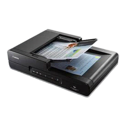
The VF3240 is an A3 flatbed option for larger classroom materials, with controls and PDF output.
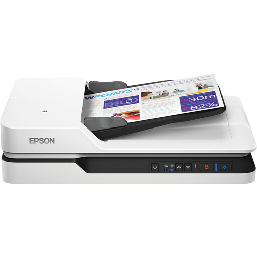
The OpticPro A320E (Image Express) is an A3 CCD flatbed worth comparing when uneven surfaces or image quality need particular attention.
The CanoScan LiDE 400 is a compact A4 option for scanning smaller map sheets only.
The Expression 13000XL range provides a technical point of comparison for a larger A3 scanning area, but is not an obvious choice if you are buying new.
These Joybuy products are A4 flatbed scanners for smaller maps that fit within the stated size.
 No image available
Suitable for smaller map sheets when A4 is large enough and you want a flatbed scan.
The product name specifies A4, 600 × 600 dpi and an automatic document feeder (ADF). Larger maps will not fit in a single scan; you may need to scan them in sections and stitch the images together.
 No image available
Suitable for smaller map sheets if A4 is large enough and you want a flatbed scan.
The product name specifies A4 and 1200 × 1200 dpi. Larger maps will not fit in a single scan; you may need to scan them in sections and stitch the images together.
Measure the complete area you want to keep visible and compare both dimensions with the stated scanning area in millimetres. The A3 label alone is less precise; for example, the Canon CanoScan LiDE 400 has a maximum document size of 216 × 297 mm.
Choose settings to suit the lesson, then check the scan for legible names, complete edges, accurate colour and skewed or curved lines. Metamorfoze guidelines are intended for preservation projects and are not automatically mandatory settings for classroom scans.
Yes. Before buying, check that a suitable driver is available for the school computer and agree who will provide installation and support. VIISAN publishes separate VF3240 downloads for Windows 10 and 11 and macOS 11 or later, among other systems; check the applicable service terms with the retailer.
Not simply because the map is old. The Dutch government explains the permissions and fees that apply to digitally copying and sharing copyrighted publications internally; certain non-commercial educational uses are subject to an exception under Article 16 of the Dutch Copyright Act. Check the rights for the specific map, how it will be used and whether any school policy applies. According to the National Archives of the Netherlands, downloads may be freely reused only if they have a download button and are marked ‘Public Domain’ or ‘CC0’.