
Researcher with an offline project folder
You store reports, maps and source files locally and want to know how much space you’ll need. PDOK distinguishes large downloads for offline GIS use from online geoservices.


Start by choosing a laptop that runs the programmes you actually need, then work out how much storage you need for files that must be available offline. Screen space, ports and portability matter when reading and comparing maps and reports; for local GIS use, software compatibility, memory and available storage become more important.
You store reports, maps and source files locally and want to know how much space you’ll need. PDOK distinguishes large downloads for offline GIS use from online geoservices.
You compare maps, tables and text, and want a practical balance between screen space and portability. Screen specifications vary between laptop models.
You may open QGIS projects or use ArcGIS Pro if your work requires it. The software you need determines the operating system first, then the configurations you should compare.
Start with the required software and file formats, then consider storage, screen space and portability. PDOK notes that data downloads can be large and used offline in a GIS application, so add together your local files and planned downloads.
| What to consider | What to look for | Who is this most important for? |
|---|---|---|
| Storage for project files | Add up your project folders and planned downloads, then compare the total with the available SSD space in the exact configuration. Also plan a separate backup. | If I want to keep projects and offline map downloads locally, having enough space comes first; around 36% of consumers prioritise storage for local files. |
| Software compatibility | Note the required application and version, along with the file formats and linked data sources. For ArcGIS Pro 3.7, Esri lists the supported Windows operating systems. | When I need to open GIS projects locally, I first want to make sure the required software is compatible; around 29% of consumers prioritise software compatibility. |
| Room to read | Compare the screen size and resolution of the specific configuration. Also consider whether an external monitor would suit your workspace. | If I want to view maps, tables and notes at the same time, usable screen space matters more; around 21% of consumers choose reading space as their main priority. |
| Taking it with you and working on site | Compare the weight and dimensions of the exact laptop. For battery figures, check the test conditions and find out what power supply is needed. | When I often take my laptop between locations, portability is my main consideration; around 14% of consumers prioritise mobility. |
A project may refer to data sources that are no longer accessible after being moved or renamed. The QGIS documentation explains that this can make those sources or files unavailable as layers.
Check which data files belong to the project, then open a copy from the location where you intend to work on it.
Finding and relinking missing layers takes time.
Product ranges such as the HP ProBook 440 G11 and ASUS Vivobook 15 (X1504) include several configurations. Memory, screen and operating system can vary by model.
Compare the full model or product number and the specifications of that exact configuration.
Consumentenbond distinguishes between OneDrive synchronisation and a separate backup.
As well as your working files, plan a separate backup of your project files and linked datasets.
A compact laptop may have fewer built-in ports. Apple specifies two Thunderbolt 4 ports for the 13-inch MacBook Air with M5; the standard configuration described by Apple for the Netherlands does not include a power adapter.
Compare your drive, monitor and charging needs with the ports and what’s included in the exact offer.
Check whether you’ll need an additional adapter for your equipment.
These product ranges give you a starting point for comparing configurations; their features do not necessarily apply to every model from the brand.
The ThinkPad T14 Gen 6 (Intel) is a 14-inch Windows range worth comparing if ports and a choice of configurations matter to you.
The ProBook 440 G11 is a 14-inch range worth comparing for local Windows use and a choice of memory configurations.
The 13-inch MacBook Air with M5 is a compact macOS option worth comparing for reading, file work and possibly QGIS on macOS.
The Vivobook 15 (X1504) is a Windows range worth comparing if a larger built-in screen matters more than maximum compactness.
These laptops are selected for comparison for local project work and viewing maps and research documents. For each configuration, check that the operating system, storage and screen suit the way you work.
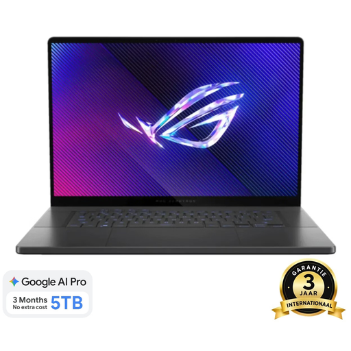 No image available
The listed 1 TB SSD gives you a starting point for comparison if you want to store research files locally.
16-inch; 16 GB RAM; 1 TB SSD; Dark Grey.
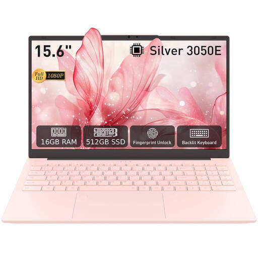 No image available
The listed SSD capacity helps you compare this configuration with the amount of files you want to keep locally.
16 GB DDR4; 512 GB SSD; 3050E processor.
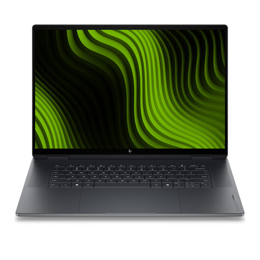 No image available
The listed 2 TB SSD offers a generous storage configuration to compare if you want to keep lots of project files locally.
16-inch; 64 GB RAM; 2 TB SSD; 3K OLED touchscreen, 120 Hz; Windows 11 Pro.
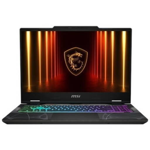 No image available
This Windows configuration is worth comparing if you want to use QGIS on Windows; also check that the storage suits your local files.
15.6-inch Full HD, 144 Hz; AMD Ryzen 9 270 8-Core; 16 GB DDR5; 512 GB SSD; Windows 11 Home.
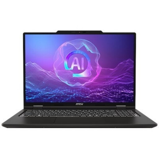 No image available
The listed 16:10 screen ratio may be worth considering if you want to view maps, tables and documents on the built-in screen.
16-inch; 32 GB DDR5; 512 GB PCIe 4.0 SSD; 1920 × 1200, 144 Hz; Windows 11 Pro.
Not simply because you’re viewing maps. First, work out which application and tasks you’ll use; for local GIS work, compare the configuration with the requirements for that software and workload. Esri distinguishes between minimum and recommended configurations in the system requirements for ArcGIS Pro.
A moved or renamed file, or an inaccessible data source, can make a layer unavailable, as the QGIS documentation explains. Bring the related data files with you and, if necessary, update the source paths in the project.
Keep a separate backup as well as your working files. Consumentenbond points out that OneDrive synchronisation is not the same as a separate backup and mentions File History as an option in Windows.
In the system requirements for ArcGIS Pro 3.7, Esri lists supported Windows operating systems, not macOS. If you need ArcGIS Pro, compare a Windows configuration with the requirements for the version you use.
For distance purchases from a business, you usually have a 14-day cooling-off period, according to the Dutch government. Check the applicable terms and exceptions; an online purchase from a private individual is not automatically covered by the same rules.