What should you look for when choosing?
Start with the software you need to use. Then compare memory, storage and any GPU requirements for your mapping work. Assess audio for online conversations separately.
| What to consider |
What should you check? |
Who is this important for? |
| Maps and aerial imagery |
Compare your working files and GIS tasks with the memory and available SSD space of the exact configuration. QGIS documents working with raster imagery. |
If I process several maps and images, I want to know whether the memory and storage will suit my project. Around 31% of consumers prioritise processing maps and images. |
| Online conversations |
Consider whether you’ll be speaking online, then check your microphone or headset and the settings available in your calling app. Microsoft Teams offers background noise and voice isolation settings. |
When I have online meetings during work, I want others to hear me clearly despite nearby voices. Around 25% of consumers prioritise being easy to hear in online meetings. |
| Software compatibility |
Make a note of the applications and versions you need. Esri lists the Windows versions supported by ArcGIS Pro, so check your own software requirements before considering macOS. |
If my course or project specifies a particular GIS programme, it needs to work on the computer I choose. Around 25% of consumers put software compatibility first. |
| Workspace and essentials |
Check the dimensions, display connections and included accessories of the exact configuration. Lenovo lists the keyboard and mouse as not included with the ThinkCentre configuration reviewed. |
If desk space is limited, I want to know in advance which connections and peripherals my setup will need. Around 19% of consumers start by considering their workspace and the components they need. |
Joybuy products
This selection includes compact mini PCs and desktop PCs for local map and image work. Compare the software, storage, graphics requirements and connections you need for each configuration.
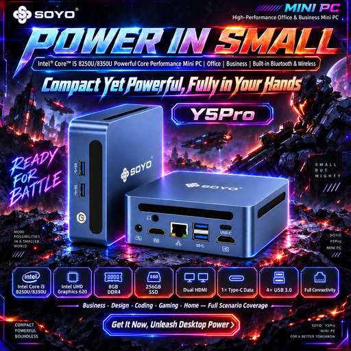 Image unavailable
SOYO Y5Pro Mini PC, Intel Core i5 8250U/8350U, 8 GB DDR4, 256 GB SATA SSD
Could suit you if a compact setup is important. Check whether the stated memory and storage capacity will be enough for your GIS files.
The product name lists 8 GB DDR4, a 256 GB SATA SSD, Wi-Fi 5 and Bluetooth 5.2. The processor is listed as an Intel Core i5 8250U/8350U.
View at Joybuy
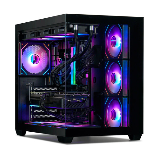 Image unavailable
Gaming Desktop PC Ryzen 7 7800X3D, GeForce RTX 5080, 32 GB DDR5, 1 TB NVMe SSD
Could be relevant if your project requires a specific GPU. Check that the exact GPU and drivers meet the requirements of your GIS software.
The product information lists a Ryzen 7 7800X3D, GeForce RTX 5080, 32 GB DDR5 and 1 TB NVMe SSD. Windows 11 is listed as Trial; check what this version means for your use.
View at Joybuy
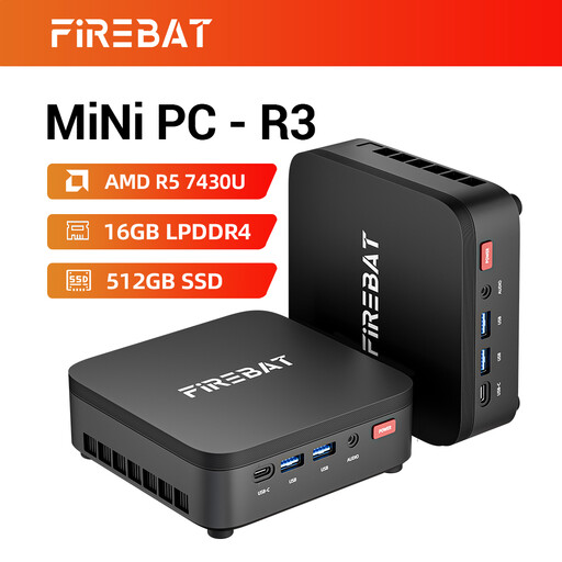 Image unavailable
FIREBAT R3 Mini PC, AMD Ryzen 5 7430U, 16 GB RAM, 512 GB SSD
Could suit a compact workspace and local map and image files. Compare the storage with what your project needs.
The product name lists 16 GB RAM, a 512 GB SSD, Wi-Fi 6 and support for a 4K triple-display setup.
View at Joybuy
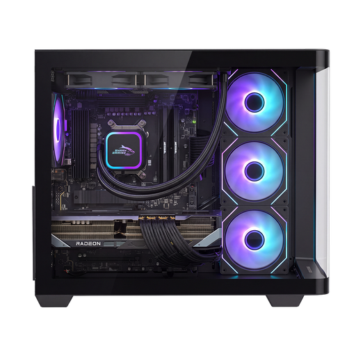 Image unavailable
Shak RGBeast R700 Gaming PC, Radeon RX 9070 XT, 16 GB DDR5, 1 TB NVMe SSD
Could suit local map and image work if the storage and other specifications meet your project’s needs.
The product information lists 16 GB DDR5, a 1 TB NVMe SSD, an AMD Radeon RX 9070 XT and Windows 11 Home. For Esri tools that require a supported NVIDIA GPU, the AMD graphics card listed doesn’t meet that requirement.
View at Joybuy
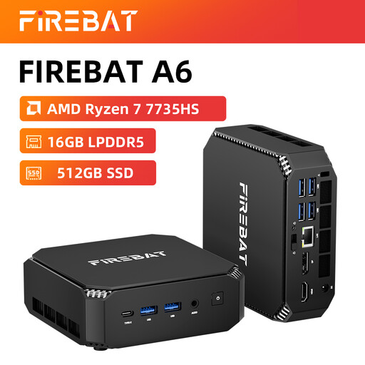 Image unavailable
FIREBAT Mini PC A6, AMD Ryzen 7 7735HS, Radeon 680M, 16 GB RAM, 512 GB SSD
Could suit a compact workspace for local map and image files. Check whether the storage will be enough for your project.
The product name lists 16 GB RAM, a 512 GB SSD and an AMD Radeon 680M. For Esri tools that require a supported NVIDIA GPU, the AMD graphics card listed doesn’t meet that requirement.
View at Joybuy
Frequently asked questions
Do I need to buy a separate graphics card for coastal landscape research?
Not necessarily. Esri explains that some Spatial Analyst operations can use a suitable NVIDIA GPU, or fall back to the CPU. Check which operations you need; the presence of a graphics card alone doesn’t prove it’s suitable for your entire project.
How do I set up an online conversation when other people are talking?
Before the conversation, choose the right microphone and speakers or headset, then test the audio. Microsoft Teams offers background noise and voice isolation settings. The options available may depend on the audio source and how the app is managed.
What if my new desktop develops a fault sooner than expected?
According to ACM ConsuWijzer, a product should do what you can reasonably expect of it when used normally. If a product is faulty, the seller is responsible for providing an appropriate solution; a manufacturer’s warranty doesn’t replace your statutory rights.
Do I always have 14 days to change my mind after buying online?
No, this doesn’t apply in every case. The Dutch government says that for distance purchases from a business, a 14-day cooling-off period applies in many cases, with some exceptions. Check who the seller is and which terms apply to your order. According to the government, an online purchase from a private individual doesn’t count as a distance purchase in this sense.


