
Student with GIS assignments
You may need to process coastal data using software specified by your course. The QField documentation describes how to open a prepared QGIS project on a mobile device; check which project steps your assignment requires.


Choose a compact iPadOS or Android tablet if you mainly want to view and annotate coastal maps and study materials. First check which stylus is compatible with the exact model and whether it’s included. If your course requires desktop GIS, plug-ins or specific project workflows, first check that the software works with the exact computer configuration. The QField documentation describes a workflow that starts with a project prepared in QGIS.
You may need to process coastal data using software specified by your course. The QField documentation describes how to open a prepared QGIS project on a mobile device; check which project steps your assignment requires.
You read map layers, images and reports at a small desk, weighing the available screen space against the device’s size. Rijkswaterstaat describes measurements and trends in the coastline.
You want to make notes on maps and PDFs, so you’ll need to check which stylus is compatible with the tablet and what’s included with your chosen version.
Choose this if: you mainly view coastal maps and course materials and want to write on them.
Bear in mind: there’s less room to view a map and your notes side by side. Also check the stylus and what’s included in the box.
Choose this if: you regularly want to view two documents at once and have enough desk space.
Bear in mind: Apple lists the 13-inch iPad Air Wi-Fi as weighing 616 grams and measuring 280,6 × 214,9 mm; the 11-inch Wi-Fi model weighs 464 grams and measures 247,6 × 178,5 mm.
Choose this if: your assignment requires specific desktop features, plug-ins or project preparation.
Bear in mind: check that the required software works with the exact computer and configuration. Compatibility with a specific Surface Pro with Snapdragon has not been confirmed.
| Purchasing concern | What to check | Who is this relevant to? |
|---|---|---|
| GIS software | Check the exact operating system, required programmes and plug-ins. QField explains how to prepare projects using QGIS and QFieldSync. | If my course requires specific GIS software, I want to know before buying whether it works on the tablet. Around 36% of consumers prioritise compatibility with required GIS software. |
| Space for reading maps | Compare the device’s dimensions with the available desk space and the map or PDF view you use. | At a small desk, I want to be able to read maps and source material without the device taking up all my workspace. Around 29% of consumers prioritise screen space that suits their desk. |
| Stylus and annotations | Check stylus compatibility, what’s included in the box and whether the app you use can save or export annotations. | When annotating maps, I want to know which stylus works and whether it comes with the version I’m buying. Around 21% of consumers cite writing and annotation as their main purchasing concern. |
| Total cost of the setup | Compare the tablet with the stylus, keyboard or charger you need, and check the terms for the specific purchase. | I want to budget for the tablet and necessary accessories together, and know who to contact if something goes wrong. Around 14% of consumers prioritise the total cost of the setup. |
The QField documentation describes a workflow that starts with a project prepared in QGIS.
Before choosing a tablet as your only study device, check which software and project steps your course requires.
Compatibility and box contents are two different things. Apple lists a charging cable in the box with the iPad Air, but no Pencil.
Before choosing a complete annotation setup, check which stylus is compatible and what’s included with the exact model.
A version may differ in model code or accessories, which can affect your choice of the right setup.
Compare the full model code and key specifications with the manufacturer’s information.
The iPad Air comes in 11- and 13-inch versions for those who want to use iPadOS apps and compatible Apple Pencil models.
The Galaxy Tab S10 FE is an option for an approximately 11-inch Android setup with S Pen support.
Idea Tab models are an option if you’re looking for an Android tablet with your choice of storage and accessories.
The Surface Pro 12 inch is a Windows 2-in-1 for those considering a computer-based workflow and assessing a stylus or keyboard separately.
This selection includes tablets for viewing maps and study materials at a desk, a tablet with a larger screen, and a convertible laptop for those also considering a computer setup. Check for yourself that the required GIS software works with the version you choose.
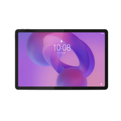 Image unavailable
The 11-inch version may suit you if you want to view maps at a compact desk; check how your own map or PDF looks on screen.
IPS display, 90 Hz, 500 nits, Android 15, 8 GB RAM and 128 GB storage. The product information lists a Tab Pen as included; the charger must be purchased separately.
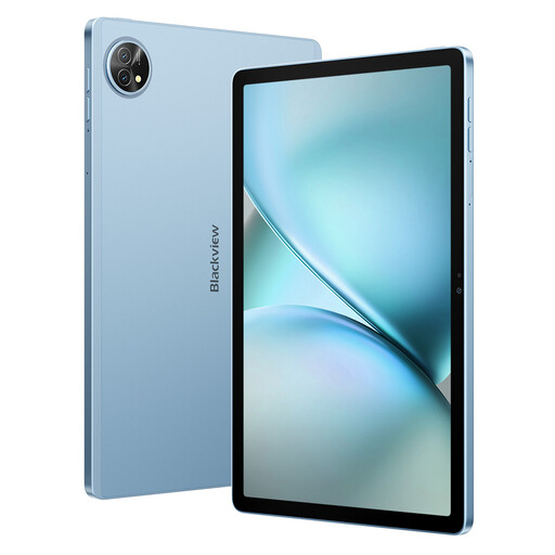 Image unavailable
The 11-inch size may suit a compact study space; check that the display works well for viewing your maps and documents.
The product name lists a 2K FHD display, 128 GB of storage, a stylus and a keyboard.
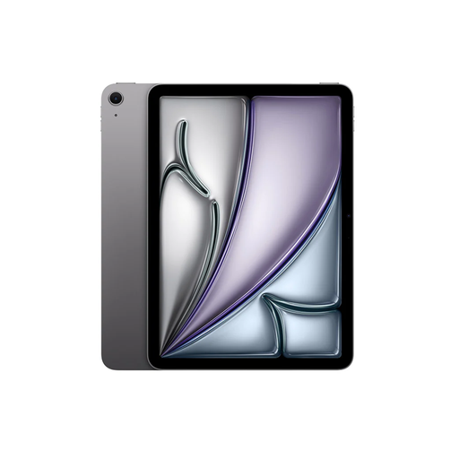 Image unavailable
The 11-inch version is an option for viewing maps and study materials at a small desk; check how it looks with the apps you use.
Apple Netherlands lists support for Apple Pencil Pro and Apple Pencil (USB-C). Apple Pencil Pro is sold separately.
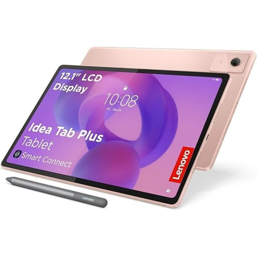 Image unavailable
The larger screen may be a good option if you want more room for maps and study materials and have enough space on your desk.
The product name lists a 12,1-inch 2.5K display, 8 GB RAM, 256 GB of storage and a pen.
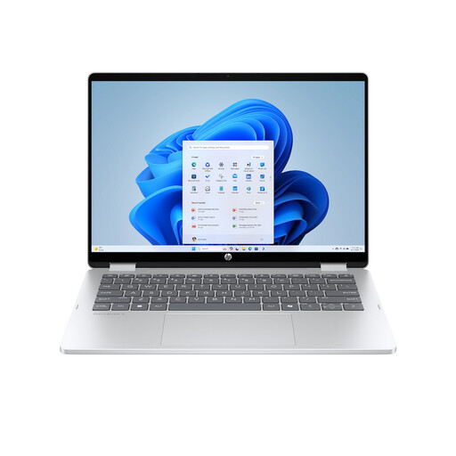 Image unavailable
This convertible laptop is worth considering if you want the option of using it as a computer as well as in tablet mode.
The product name lists a 14-inch 2K touchscreen and Windows 11 Home. The USB-C charger and stylus aren’t included; check that the GIS software you need works with this version.
Yes. For example, you can view the Rijkswaterstaat coastline map. Rijkswaterstaat describes coastline measurements and a trend calculated using measurements from the last ten years. Check separately which historical images or datasets your assignment requires.
According to the QField documentation, you prepare the project in QGIS, package it with QFieldSync and then open it in QField. Check that this workflow covers the features and project steps required for your assignment.
If you’ve used the product normally and it doesn’t meet the reasonable expectations you had when buying it, you can contact the retailer under your statutory guarantee rights. ACM ConsuWijzer explains that there is no fixed period of exactly two years for this in the Netherlands.
According to ACM ConsuWijzer, online purchases generally come with a statutory cooling-off period of up to 14 days after delivery, although exceptions apply. Check the terms that apply to your specific purchase.