
Student with larger maps
You regularly scan maps that are too large for A4 and want to know whether A3 is big enough to capture them without scanning in sections.


Start by measuring your largest map. If it fits within A4, a compact A4 flatbed scanner could be a practical choice. If the area you want to scan fits on an A3 flatbed, you can capture it in one go. Larger maps will still need to be scanned in sections, while an A3 model takes up more space. Check the scanner’s dimensions and make sure its software is compatible with your computer.
You regularly scan maps that are too large for A4 and want to know whether A3 is big enough to capture them without scanning in sections.
You want to use the scanner next to your study area and put it away afterwards. A compact A4 flatbed could work if your map size and any extra scanning steps suit you.
You want to be able to make out names, lines and symbols after scanning. So check the scan settings and software, and assess the results with a test scan.
Measure your largest map, then check that you have enough room to use and store the scanner. These factors will help you decide whether an A4 model with scans in sections will do, or whether an A3 model is better suited to your needs.
Best for: maps that fit on A4, or the occasional larger original that you can scan in overlapping sections.
Bear in mind: larger maps need to be repositioned and the scans joined together. Canon documents this feature for the LiDE 400, for originals up to around twice the scan area.
Best for: maps that are regularly larger than A4 but fit within the specified scan area of your chosen model.
Bear in mind: check the scanner’s dimensions too, and allow room to use and store it. Maps larger than the scan area will still need to be scanned in sections.
| What to consider | What to look for when buying | Who this matters to |
|---|---|---|
| Map size | Measure the width and height of the largest area you want to scan. Compare these with the maximum scan area and check how scans in sections can be joined together. | I want to scan my largest map in one go, so the scan area will determine whether I need A3. Around 29% of consumers prioritise a suitable map size. |
| Desk and storage space | Check the scanner’s dimensions, space to open the lid, cable clearance and whether you have a suitable place to store it. | If I also need my desk for studying, I want to know where the scanner will sit while I use it and where I can put it afterwards. Around 29% of consumers prioritise available space. |
| How often you scan larger maps | Consider how often you have maps larger than A4 and whether you can scan them in sections or access a suitable scanning service. | I only scan a map larger than A4 occasionally and want to know whether scanning in sections will be enough. Around 24% of consumers prioritise how often they scan larger maps. |
| Detail and computer compatibility | If possible, make a test scan of small lettering and fine lines. Also check that the drivers are compatible with your operating system. | I want to be able to make out small names and map symbols, and to check in advance that the scanner works with my computer. Around 18% of consumers prioritise detail legibility and compatibility. |
An A3 flatbed still has a limited scan area. If a map extends beyond it, you’ll still need to make several scans.
Measure the map and compare both sides with the maximum scan area of the specific model.
Larger maps may take extra time to scan in sections and join together.
A stated resolution alone doesn’t prove that small lettering or fine lines on your map will be easy to read.
If possible, assess a test scan of the smallest characters before making resolution your deciding factor.
Epson lists the Expression 12000XL as discontinued, so a product page with model information doesn’t necessarily mean the model is still available.
Check the model’s current status before treating an older product listing as an available offer.
The CanoScan LiDE 300 and LiDE 400 are A4 flatbeds. The LiDE 400 has a documented feature for joining scans of larger originals.
The Perfection V39II is an A4 flatbed with a stand that lets you position the scanner upright.
The OpticSlim 1180 is an A3 flatbed for maps that fit within its specified scan area.
The VF3240 is an A3 flatbed option for anyone looking to scan larger paper maps.
These product picks are A4 flatbed scanners for maps that fit within A4; larger maps will need to be scanned in sections.
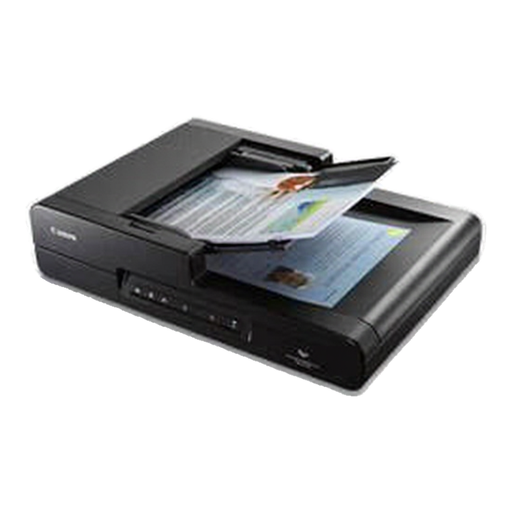 No image available
The stated A4 size suits maps that fit within this format; larger maps will need to be scanned in sections.
Stated resolution: 600 × 600 dpi. A4 size.
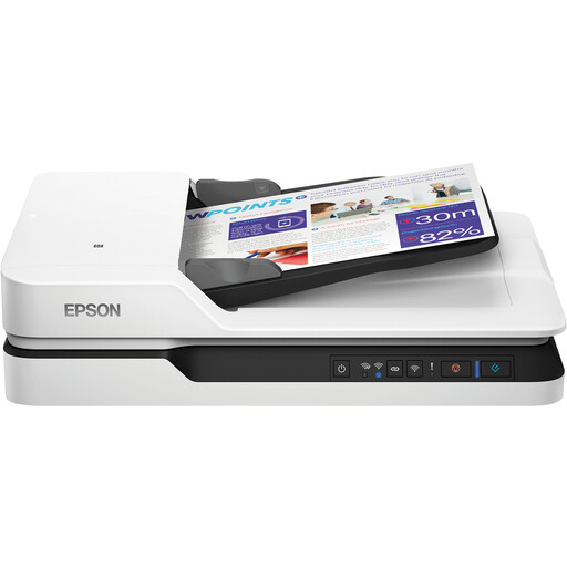 No image available
The stated A4 size suits maps that fit within this format; larger maps will need to be scanned in sections.
Stated resolution: 1200 × 1200 dpi. A4 size.
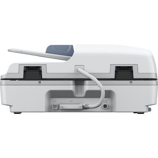 No image available
The stated A4 paper size suits maps that fit within this format; larger maps will need to be scanned in sections.
Stated resolution: 1200 dpi. File formats: JPG, PDF and TIFF.
Stated dimensions: 495 × 360 × 217 mm; weight: 9,8 kg. Check that you have enough space.
Yes, if you can scan the map in overlapping sections and join them together. Canon documents this for the LiDE 400, for originals up to around twice the scan area. Measure larger maps in advance and don’t assume you can join an unlimited number of sections.
Check the scan area, the scanner’s dimensions, its power supply and the drivers for your computer. Epson describes the Perfection V39II as USB-powered and says it has a stand for upright positioning; Plustek specifies a separate power supply for the OpticSlim 1180.
According to the Dutch Government, your statutory right to a product of satisfactory quality may still apply after a commercial warranty period has ended. How long you can reasonably expect to use a product depends on the product and the circumstances; if something goes wrong, contact the seller.
If a map is protected by copyright, don’t assume you’re free to share a scan of it. The Dutch Government explains that making a copy for your own use is allowed, but distributing it or making it available to the public is not. Check the copyright holder, licence and any permission required for the specific map.